Dongfeng night lights from space
Night Light of Dongfeng (Jilin) from space (China) Src. Average luminocity for 10x10km area is 12.803% and for 50x50km: 1.8639%.
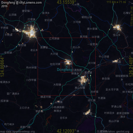
Analysis of Dongfeng night lights 2016
Square area 10x10 km:
 1.97%
1.97%90-99
1.21%80-89
2.73%70-79
1.67%60-69
2.12%50-59
1.21%40-49
0.91%30-39
2.88%20-29
0.76%10-19
4.09%0-9
80.45%Square area 50x50 km:
0.09%90-99
0.2%80-89
0.28%70-79
0.22%60-69
0.37%50-59
0.23%40-49
0.34%30-39
0.42%20-29
0.16%10-19
0.99%0-9
96.7%Clear (daylight) street map image can be seen on geolist.org.
Map coordinates:
43° 9' 19.4" North, 124° 48' 31.1" East
42° 38' 25.1" North, 125° 30' 42.3" East
42° 7' 15.3" North, 126° 12' 53.6" East
Some cities around Dongfeng sort by population:
• Liaoyuan
42.4 km =26.3 mi,  313°
313°
• Meihekou
18.4 km =11.4 mi,  133°
133°
• Panshi
55.7 km =34.6 mi,  52°
52°
• Chaoyang
42.1 km =26.2 mi,  86°
86°
• Liuhe
47.6 km =29.6 mi,  159°
159°
• Huinan
61.4 km =38.2 mi, 91°
• Xifeng
65.4 km =40.6 mi,  279°
279°
• Yantongshan
83 km =51.6 mi,  29°
29°
2037658 (p: 67,820)
Sources (retrieved 2019-11-25):
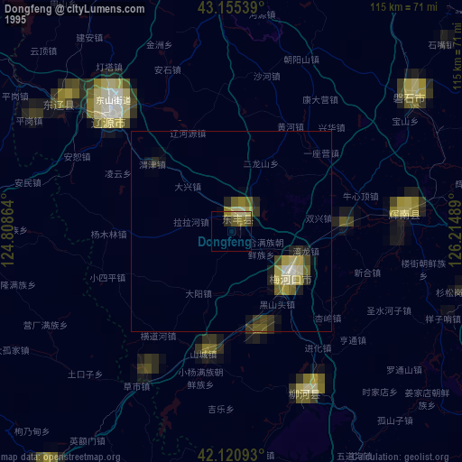
» NASA, Earths city lights 1995
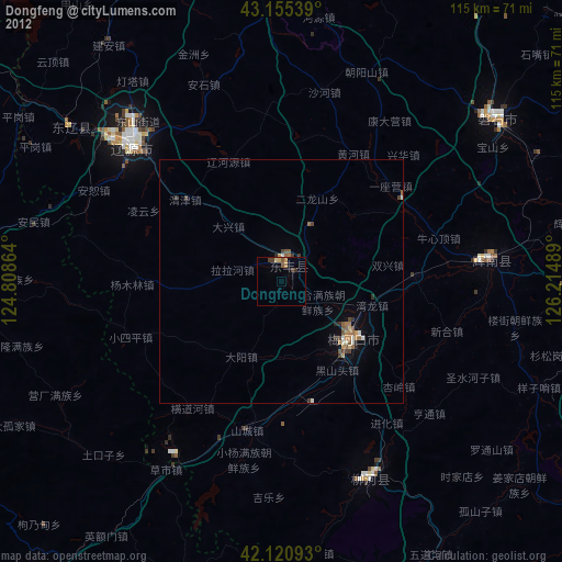
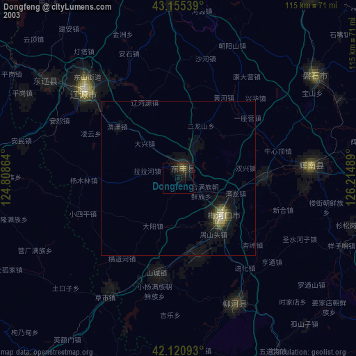
» NASA city lights 2003
» Earth at Night: Flat Maps 2012, 2016