Xifeng night lights from space
Night Light of Xifeng (Liaoning) from space (China) Src. Average luminocity for 10x10km area is 6.4258% and for 50x50km: 0.6111%.
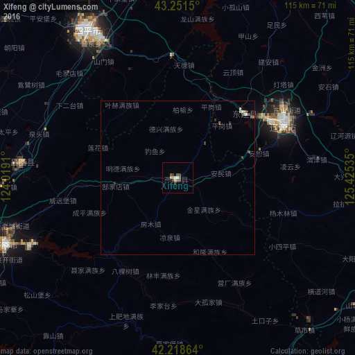
Analysis of Xifeng night lights 2016
Square area 10x10 km:
 0.61%
0.61%90-99
0.61%80-89
1.67%70-79
0.15%60-69
0%50-59
2.27%40-49
2.27%30-39
0.91%20-29
0%10-19
0%0-9
91.52%Square area 50x50 km:
0.06%90-99
0.08%80-89
0.11%70-79
0.03%60-69
0%50-59
0.15%40-49
0.19%30-39
0.13%20-29
0.06%10-19
0.02%0-9
99.18%Clear (daylight) street map image can be seen on geolist.org.
Map coordinates:
43° 15' 5.4" North, 124° 1' 8.8" East
42° 44' 14" North, 124° 43' 20" East
42° 13' 7.1" North, 125° 25' 31.3" East
Some cities around Xifeng sort by population:
• Siping
54.9 km =34.1 mi,  329°
329°
• Liaoyuan
38.5 km =23.9 mi,  61°
61°
• Gongzhuling
85.3 km =53 mi,  5°
5°
• Kaiyuan
60.2 km =37.4 mi,  247°
247°
• Meihekou
81.4 km =50.6 mi,  106°
106°
• Changtu
51.4 km =31.9 mi,  275°
275°
• Dongfeng
65.4 km =40.6 mi,  99°
99°
• Lishu
70.8 km =44 mi, 333°
2033866 (p: 61,087)
Sources (retrieved 2019-11-25):
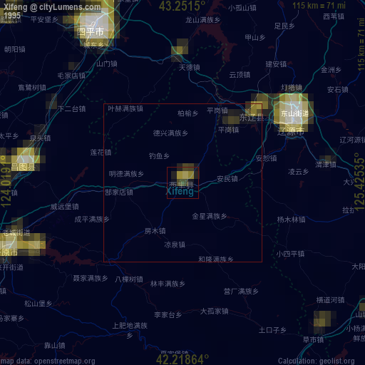
» NASA, Earths city lights 1995
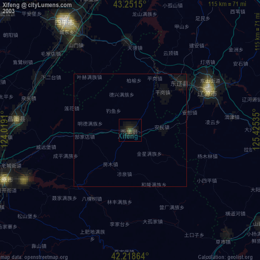
» NASA city lights 2003
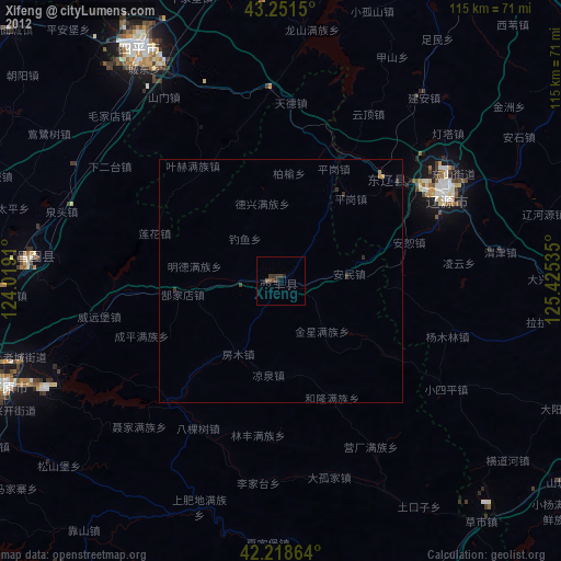
» Earth at Night: Flat Maps 2012, 2016