Huinan night lights from space
Night Light of Huinan (Jilin) from space (China) Src. Average luminocity for 10x10km area is 0.2879% and for 50x50km: 0.2423%.
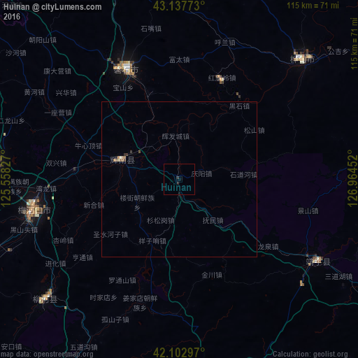
Analysis of Huinan night lights 2016
Square area 10x10 km:
 0%
0%90-99
0%80-89
0%70-79
0%60-69
0%50-59
0%40-49
0%30-39
0.61%20-29
0%10-19
0.61%0-9
98.79%Square area 50x50 km:
0%90-99
0.03%80-89
0.03%70-79
0.02%60-69
0.03%50-59
0.1%40-49
0.05%30-39
0.12%20-29
0.01%10-19
0.04%0-9
99.58%Clear (daylight) street map image can be seen on geolist.org.
Map coordinates:
43° 8' 15.8" North, 125° 33' 29.8" East
42° 37' 21" North, 126° 15' 41" East
42° 6' 10.7" North, 126° 57' 52.3" East
Some cities around Huinan sort by population:
• Baishan
77.2 km =48 mi,  170°
170°
• Huadian
54.9 km =34.1 mi,  46°
46°
• Meihekou
49.1 km =30.5 mi,  257°
257°
• Panshi
39.3 km =24.4 mi,  334°
334°
• Chaoyang
19.7 km =12.2 mi,  282°
282°
• Dongfeng
61.4 km =38.2 mi,  271°
271°
• Liuhe
61.7 km =38.3 mi,  226°
226°
• Sanchazi
66.3 km =41.2 mi,  155°
155°
2036685 (p: 66,315)
Sources (retrieved 2019-11-25):
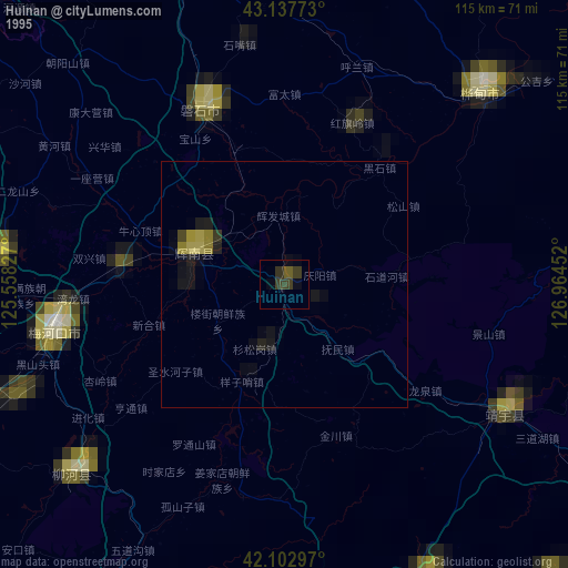
» NASA, Earths city lights 1995
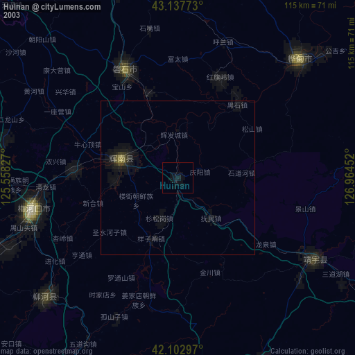
» NASA city lights 2003
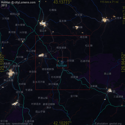
» Earth at Night: Flat Maps 2012, 2016