Xiongzhou night lights from space
Night Light of Xiongzhou (Guangdong) from space (China) Src. Average luminocity for 10x10km area is 19.5606% and for 50x50km: 1.3593%.
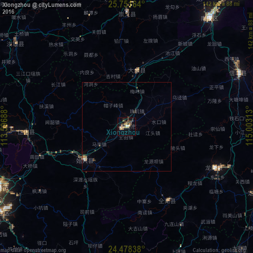
Analysis of Xiongzhou night lights 2016
Square area 10x10 km:
 1.14%
1.14%90-99
1.14%80-89
3.22%70-79
3.79%60-69
2.08%50-59
2.27%40-49
6.44%30-39
4.55%20-29
3.22%10-19
6.25%0-9
65.91%Square area 50x50 km:
0.08%90-99
0.09%80-89
0.18%70-79
0.23%60-69
0.11%50-59
0.21%40-49
0.39%30-39
0.25%20-29
0.36%10-19
0.35%0-9
97.73%Clear (daylight) street map image can be seen on geolist.org.
Map coordinates:
25° 45' 5.9" North, 113° 35' 48.8" East
25° 7' 0" North, 114° 18' 0" East
24° 28' 42.2" North, 115° 0' 11.3" East
Some cities around Xiongzhou sort by population:
• Shaoguan
80.4 km =50 mi,  244°
244°
• Chenzhou
148.1 km =92 mi,  300°
300°
• Qingyuan
203.1 km =126.2 mi,  219°
219°
• Lecheng
95.6 km =59.4 mi,  270°
270°
• Maba
85.6 km =53.2 mi, 235°
• Heyuan
158.6 km =98.5 mi,  165°
165°
• Lianzhou
198 km =123 mi,  259°
259°
• Shixing
30.1 km =18.7 mi,  231°
231°
1788402 (p: 79,050)
Sources (retrieved 2019-11-25):
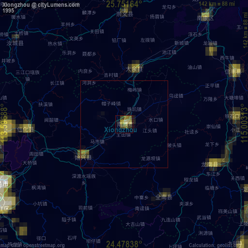
» NASA, Earths city lights 1995
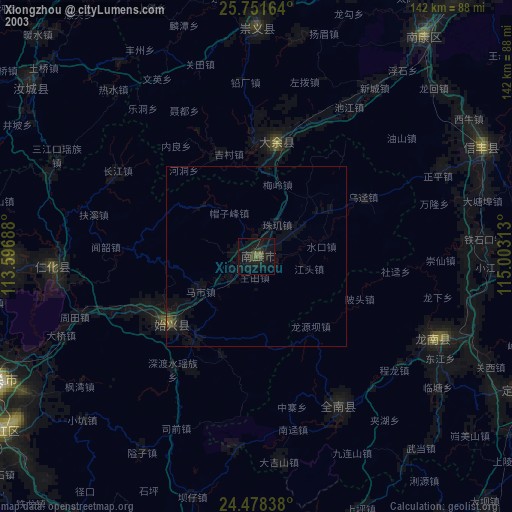
» NASA city lights 2003
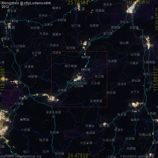
» Earth at Night: Flat Maps 2012, 2016