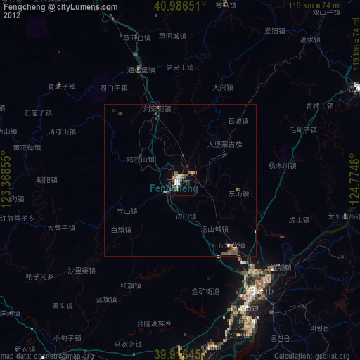
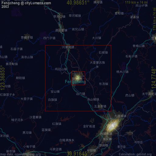
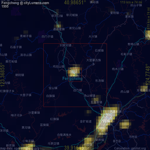
Fengcheng night lights from space
Night Light of Fengcheng (Liaoning) from space (China) Src. Average luminocity for 10x10km area is 25.1054% and for 50x50km: 1.3357%.
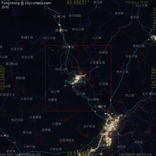
Analysis of Fengcheng night lights 2016
Square area 10x10 km:
 1.7%
1.7%90-99
2.21%80-89
5.44%70-79
4.25%60-69
2.89%50-59
5.44%40-49
2.04%30-39
5.1%20-29
2.21%10-19
23.3%0-9
45.41%Square area 50x50 km:
0.06%90-99
0.08%80-89
0.26%70-79
0.16%60-69
0.13%50-59
0.31%40-49
0.14%30-39
0.36%20-29
0.21%10-19
0.99%0-9
97.31%Clear (daylight) street map image can be seen on geolist.org.
Map coordinates:
40° 59' 11.4" North, 123° 22' 6.8" East
40° 27' 13" North, 124° 4' 18" East
39° 54' 59.2" North, 124° 46' 29.3" East
Some cities around Fengcheng sort by population:
• Dandong
45.3 km =28.1 mi,  142°
142°
• Sinŭiju, KP
48 km =29.8 mi, 144°
• Xiuyan
69.9 km =43.4 mi,  255°
255°
• Kuandian
67.5 km =41.9 mi,  63°
63°
• Langtoucun
51.1 km =31.8 mi,  154°
154°
• Ŭiju, KP
48.2 km =30 mi,  125°
125°
• Sakchu-ŭp, KP
82.8 km =51.4 mi,  94°
94°
• Yŏmju-ŭp, KP
76.7 km =47.7 mi, 144°
2037411 (p: 120,514)
Sources (retrieved 2019-11-25):
» NASA, Earths city lights 1995
» NASA city lights 2003
» Earth at Night: Flat Maps 2012, 2016