Hulan night lights from space
Night Light of Hulan (Heilongjiang) from space (China) Src. Average luminocity for 10x10km area is 21.3571% and for 50x50km: 10.9087%.
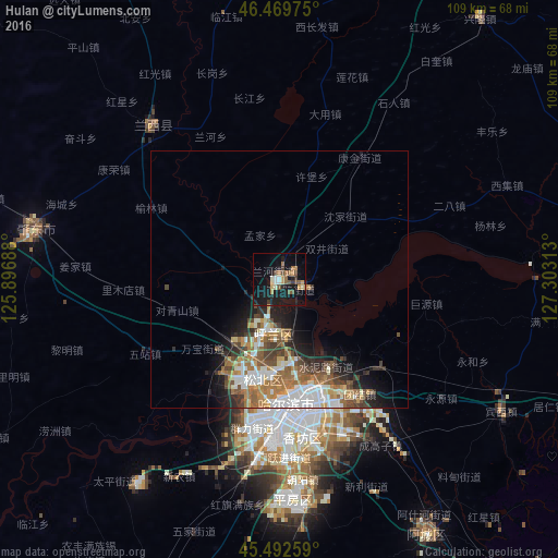
Analysis of Hulan night lights 2016
Square area 10x10 km:
 0.89%
0.89%90-99
2.98%80-89
1.49%70-79
3.42%60-69
3.42%50-59
4.32%40-49
3.42%30-39
1.93%20-29
2.53%10-19
30.21%0-9
45.39%Square area 50x50 km:
1.99%90-99
2.12%80-89
0.72%70-79
1.19%60-69
2.26%50-59
1.82%40-49
1.93%30-39
1.45%20-29
2.08%10-19
4.87%0-9
79.56%Clear (daylight) street map image can be seen on geolist.org.
Map coordinates:
46° 28' 11.1" North, 125° 53' 48.8" East
45° 58' 60" North, 126° 36' 0" East
45° 29' 33.3" North, 127° 18' 11.3" East
Some cities around Hulan sort by population:
• Harbin
26.2 km =16.3 mi,  171°
171°
• Suihua
79 km =49.1 mi,  22°
22°
• Zhaodong
48.6 km =30.2 mi,  281°
281°
• Acheng
56.8 km =35.3 mi,  149°
149°
• Shuangcheng
74.6 km =46.4 mi,  199°
199°
• Lanxi
39.1 km =24.3 mi,  321°
321°
• Binzhou
72.8 km =45.2 mi,  110°
110°
• Bayan
62.5 km =38.8 mi,  80°
80°
2036671 (p: 109,104)
Sources (retrieved 2019-11-25):
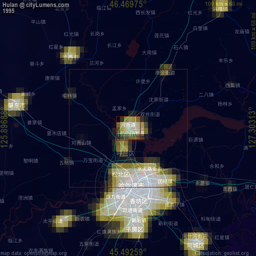
» NASA, Earths city lights 1995
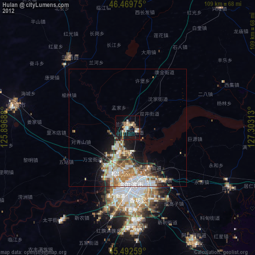
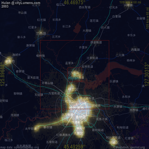
» NASA city lights 2003
» Earth at Night: Flat Maps 2012, 2016