Acheng night lights from space
Night Light of Acheng (Heilongjiang) from space (China) Src. Average luminocity for 10x10km area is 17.997% and for 50x50km: 7.6655%.
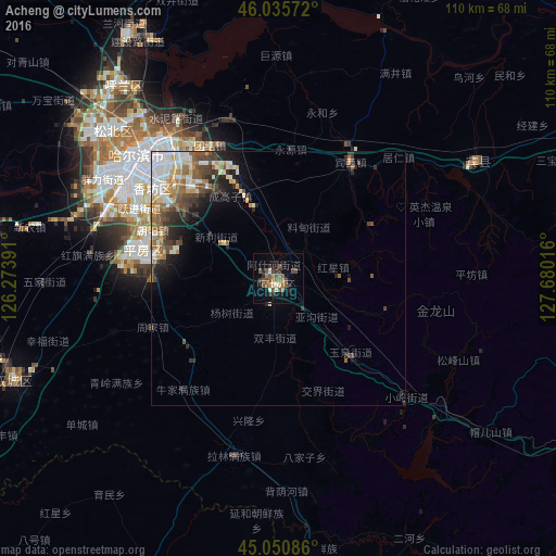
Analysis of Acheng night lights 2016
Square area 10x10 km:
 0.3%
0.3%90-99
1.67%80-89
1.97%70-79
1.82%60-69
2.73%50-59
6.82%40-49
5.3%30-39
2.42%20-29
3.18%10-19
6.67%0-9
67.12%Square area 50x50 km:
1.15%90-99
1.58%80-89
0.77%70-79
0.76%60-69
1.35%50-59
1.27%40-49
1.41%30-39
1.17%20-29
1.82%10-19
2.42%0-9
86.3%Clear (daylight) street map image can be seen on geolist.org.
Map coordinates:
46° 2' 8.6" North, 126° 16' 26.1" East
45° 32' 43.6" North, 126° 58' 37.3" East
45° 3' 3.1" North, 127° 40' 48.6" East
Some cities around Acheng sort by population:
• Harbin
34.1 km =21.2 mi,  311°
311°
• Shuangcheng
58.3 km =36.2 mi,  248°
248°
• Yushu
89.9 km =55.9 mi,  202°
202°
• Hulan
56.8 km =35.3 mi,  329°
329°
• Wuchang
71.5 km =44.4 mi,  169°
169°
• Shangzhi
86.2 km =53.6 mi,  115°
115°
• Binzhou
45.4 km =28.2 mi,  59°
59°
• Bayan
67.4 km =41.9 mi,  28°
28°
2038679 (p: 144,665)
Sources (retrieved 2019-11-25):
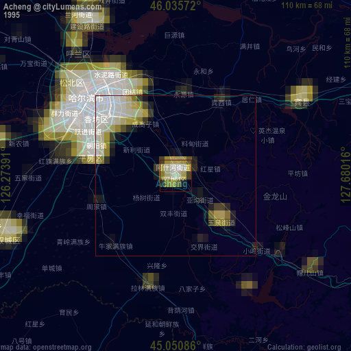
» NASA, Earths city lights 1995
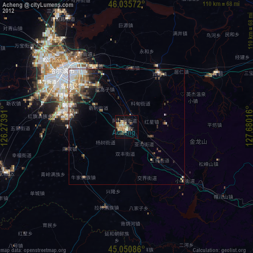
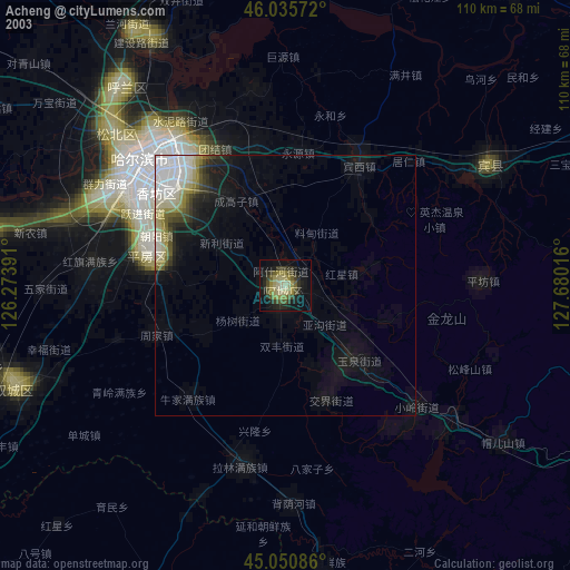
» NASA city lights 2003
» Earth at Night: Flat Maps 2012, 2016