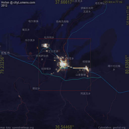
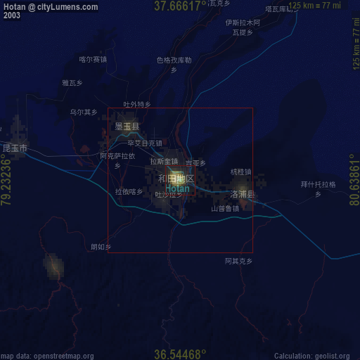
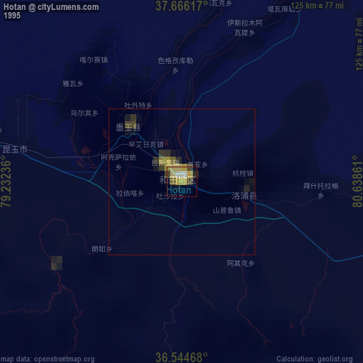
Hotan night lights from space
Night Light of Hotan (Xinjiang) from space (China) Src. Average luminocity for 10x10km area is 59.9711% and for 50x50km: 6.1662%.
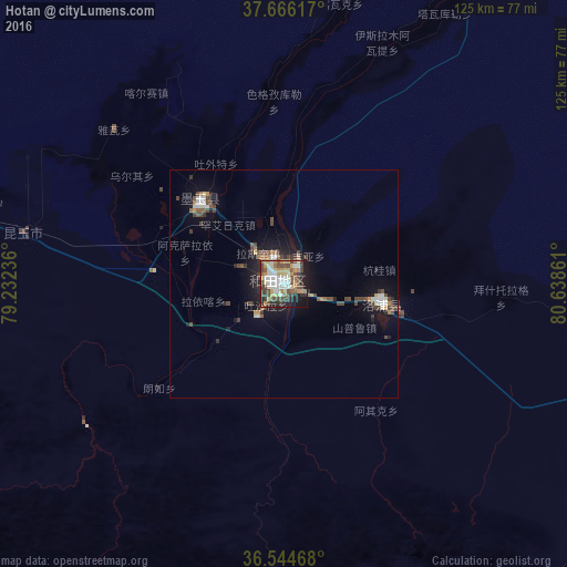
Analysis of Hotan night lights 2016
Square area 10x10 km:
 12.24%
90-99
11.39%80-89
9.18%70-79
11.05%60-69
4.42%50-59
8.16%40-49
17.52%30-39
5.78%20-29
9.35%10-19
10.2%0-9
0.68%Square area 50x50 km:
0.76%90-99
0.96%80-89
0.47%70-79
0.81%60-69
0.52%50-59
0.78%40-49
2.02%30-39
0.69%20-29
1.21%10-19
4.5%0-9
87.29%Clear (daylight) street map image can be seen on geolist.org.
Map coordinates:
37° 39' 58.2" North, 79° 13' 56.5" East
37° 6' 27" North, 79° 56' 7.7" East
36° 32' 40.8" North, 80° 38' 19" East
Some cities around Hotan sort by population:
• Aksu
454.3 km =282.3 mi,  3°
3°
• Kashgar
433.1 km =269.1 mi,  307°
307°
• Aral
398.9 km =247.9 mi,  16°
16°
• Shache
278 km =172.7 mi,  301°
301°
• Leh, IN
390.1 km =242.4 mi,  212°
212°
• Kargil, IN
445.2 km =276.6 mi,  230°
230°
• Zangguy
105.4 km =65.5 mi,  280°
280°
• Aykol
428.4 km =266.2 mi, 2°
1281019 (p: 114,000)
Sources (retrieved 2019-11-25):
» NASA, Earths city lights 1995
» NASA city lights 2003
» Earth at Night: Flat Maps 2012, 2016