Hede night lights from space
Night Light of Hede (Jiangsu) from space (China) Src. Average luminocity for 10x10km area is 31.9487% and for 50x50km: 2.2404%.
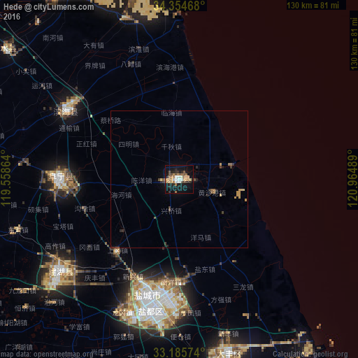
Analysis of Hede night lights 2016
Square area 10x10 km:
 3.85%
3.85%90-99
4.58%80-89
2.56%70-79
4.58%60-69
8.97%50-59
4.03%40-49
3.3%30-39
2.01%20-29
7.88%10-19
36.81%0-9
21.43%Square area 50x50 km:
0.15%90-99
0.18%80-89
0.27%70-79
0.39%60-69
0.47%50-59
0.3%40-49
0.3%30-39
0.3%20-29
0.55%10-19
1.61%0-9
95.5%Clear (daylight) street map image can be seen on geolist.org.
Map coordinates:
34° 21' 16.8" North, 119° 33' 31.1" East
33° 46' 19.9" North, 120° 15' 42.3" East
33° 11' 8.7" North, 120° 57' 53.6" East
Some cities around Hede sort by population:
• Yancheng
47.1 km =29.3 mi,  191°
191°
• Dongtai
102.4 km =63.6 mi,  177°
177°
• Xinghua
100.8 km =62.6 mi,  203°
203°
• Dazhong
66.2 km =41.1 mi,  164°
164°
• Baoying
107 km =66.5 mi,  235°
235°
• Dongkan
47.1 km =29.3 mi,  302°
302°
• Gaogou
102.7 km =63.8 mi,  285°
285°
• Qinnan
66.1 km =41.1 mi,  209°
209°
1808744 (p: 89,107)
Sources (retrieved 2019-11-25):
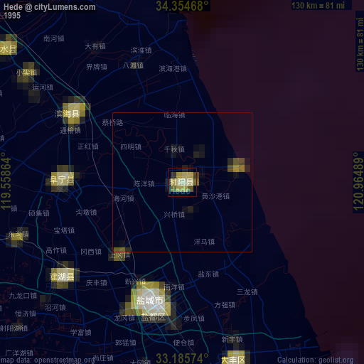
» NASA, Earths city lights 1995
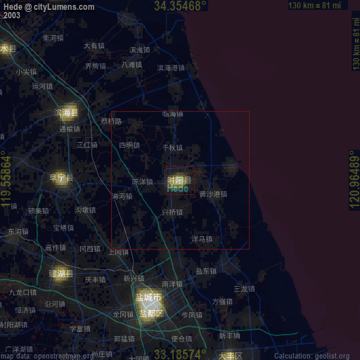
» NASA city lights 2003
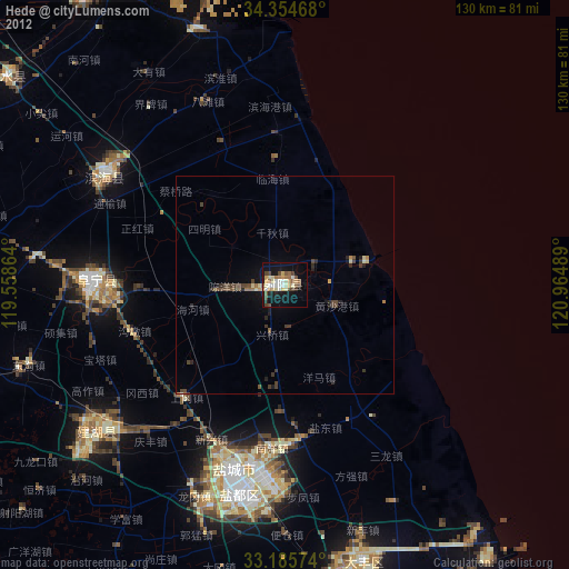
» Earth at Night: Flat Maps 2012, 2016