Xinghua night lights from space
Night Light of Xinghua (Jiangsu) from space (China) Src. Average luminocity for 10x10km area is 46.7949% and for 50x50km: 3.831%.
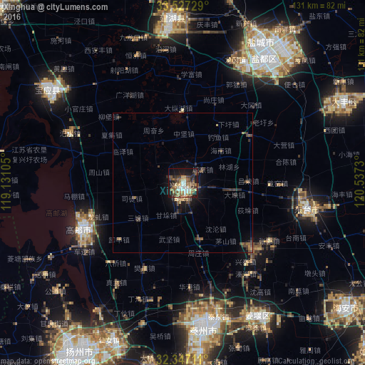
Analysis of Xinghua night lights 2016
Square area 10x10 km:
 5.31%
5.31%90-99
8.06%80-89
5.68%70-79
6.41%60-69
8.06%50-59
11.36%40-49
9.16%30-39
6.78%20-29
9.89%10-19
24.54%0-9
4.76%Square area 50x50 km:
0.21%90-99
0.35%80-89
0.37%70-79
0.37%60-69
0.65%50-59
0.8%40-49
1.03%30-39
0.75%20-29
1.34%10-19
2.96%0-9
91.16%Clear (daylight) street map image can be seen on geolist.org.
Map coordinates:
33° 31' 38.2" North, 119° 7' 51.8" East
32° 56' 21" North, 119° 50' 3" East
32° 20' 49.6" North, 120° 32' 14.3" East
Some cities around Xinghua sort by population:
• Yancheng
55.4 km =34.4 mi,  32°
32°
• Taizhou
50.3 km =31.3 mi,  172°
172°
• Dongtai
45.4 km =28.2 mi,  102°
102°
• Gaoyou
40.3 km =25 mi,  245°
245°
• Xiannü
62.3 km =38.7 mi,  204°
204°
• Baoying
58.6 km =36.4 mi,  303°
303°
• Jiangyan
56.1 km =34.9 mi,  149°
149°
• Qinnan
35.7 km =22.2 mi,  11°
11°
1784820 (p: 105,918)
Sources (retrieved 2019-11-25):
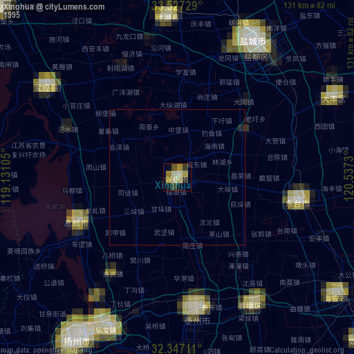
» NASA, Earths city lights 1995
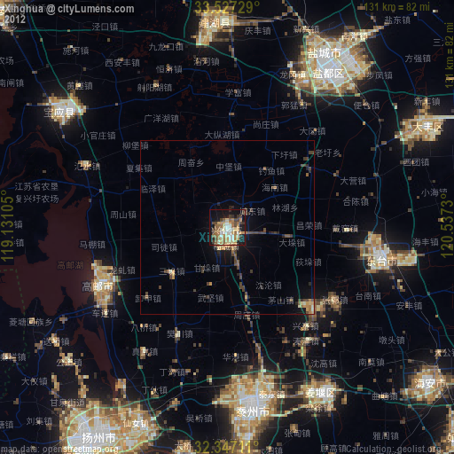
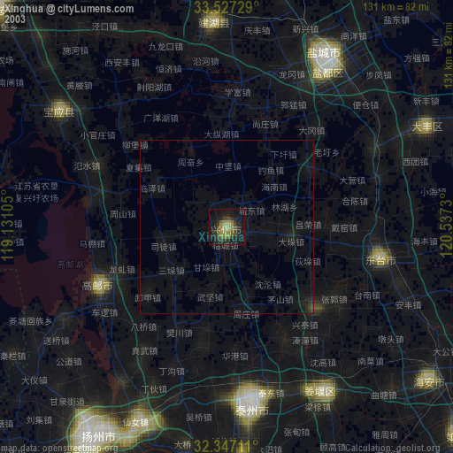
» NASA city lights 2003
» Earth at Night: Flat Maps 2012, 2016