Dongkan night lights from space
Night Light of Dongkan (Jiangsu) from space (China) Src. Average luminocity for 10x10km area is 34.5192% and for 50x50km: 3.949%.
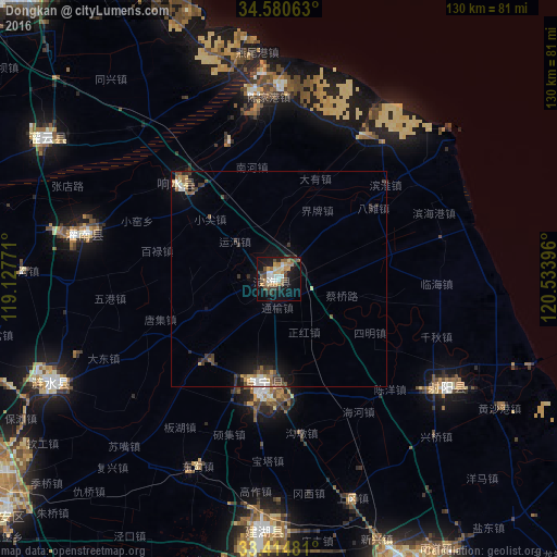
Analysis of Dongkan night lights 2016
Square area 10x10 km:
 4.72%
4.72%90-99
4.37%80-89
4.9%70-79
4.9%60-69
5.24%50-59
5.42%40-49
5.77%30-39
6.64%20-29
3.15%10-19
32.87%0-9
22.03%Square area 50x50 km:
0.36%90-99
0.48%80-89
0.46%70-79
0.41%60-69
0.47%50-59
0.7%40-49
0.74%30-39
0.95%20-29
0.61%10-19
3.29%0-9
91.54%Clear (daylight) street map image can be seen on geolist.org.
Map coordinates:
34° 34' 50.3" North, 119° 7' 39.8" East
33° 59' 59" North, 119° 49' 51" East
33° 24' 53.3" North, 120° 32' 2.3" East
Some cities around Dongkan sort by population:
• Yancheng
77.5 km =48.2 mi,  157°
157°
• Huai'an
87.8 km =54.6 mi,  238°
238°
• Xinpu
90.9 km =56.5 mi,  317°
317°
• Hede
47.1 km =29.3 mi,  122°
122°
• Baoying
98.4 km =61.1 mi,  209°
209°
• Haizhou
91.4 km =56.8 mi, 315°
• Gaogou
59.2 km =36.8 mi,  271°
271°
• Qinnan
83.4 km =51.8 mi,  174°
174°
1812427 (p: 72,789)
Sources (retrieved 2019-11-25):
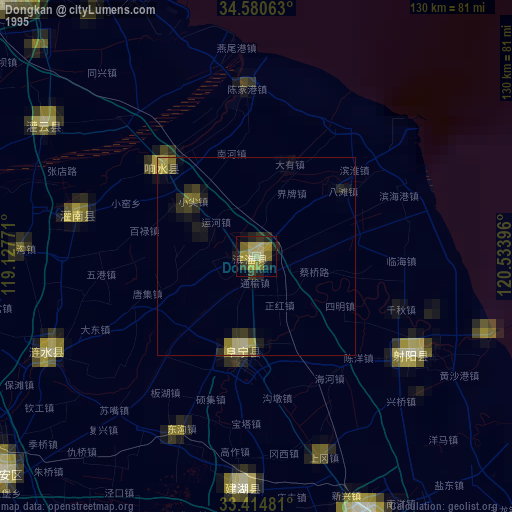
» NASA, Earths city lights 1995
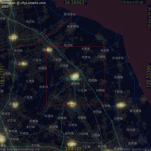
» NASA city lights 2003
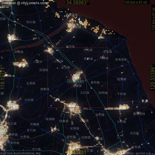
» Earth at Night: Flat Maps 2012, 2016