Gaogou night lights from space
Night Light of Gaogou (Jiangsu) from space (China) Src. Average luminocity for 10x10km area is 4.0734% and for 50x50km: 3.0925%.
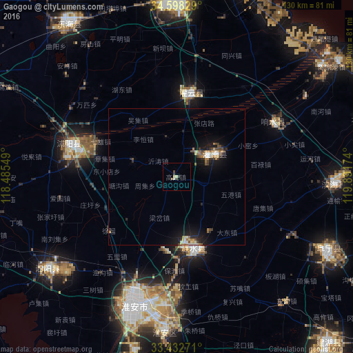
Analysis of Gaogou night lights 2016
Square area 10x10 km:
 0%
0%90-99
0.7%80-89
1.4%70-79
0.17%60-69
0.52%50-59
0%40-49
0.7%30-39
2.1%20-29
0%10-19
0%0-9
94.41%Square area 50x50 km:
0.21%90-99
0.34%80-89
0.41%70-79
0.43%60-69
0.44%50-59
0.3%40-49
0.48%30-39
0.51%20-29
0.69%10-19
3.16%0-9
93.03%Clear (daylight) street map image can be seen on geolist.org.
Map coordinates:
34° 35' 53.8" North, 118° 29' 7.8" East
34° 1' 3" North, 119° 11' 19" East
33° 25' 57.8" North, 119° 53' 30.3" East
Some cities around Gaogou sort by population:
• Huai'an
50.2 km =31.2 mi,  198°
198°
• Xinpu
64.8 km =40.3 mi,  357°
357°
• Hede
102.7 km =63.8 mi,  105°
105°
• Baoying
88.4 km =54.9 mi,  172°
172°
• Dongkan
59.2 km =36.8 mi,  91°
91°
• Haizhou
63 km =39.1 mi, 355°
• Guiren
100.1 km =62.2 mi,  247°
247°
• Zhongxing
58.6 km =36.4 mi,  233°
233°
1810553 (p: 56,214)
Sources (retrieved 2019-11-25):
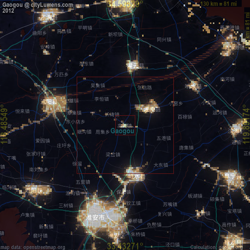
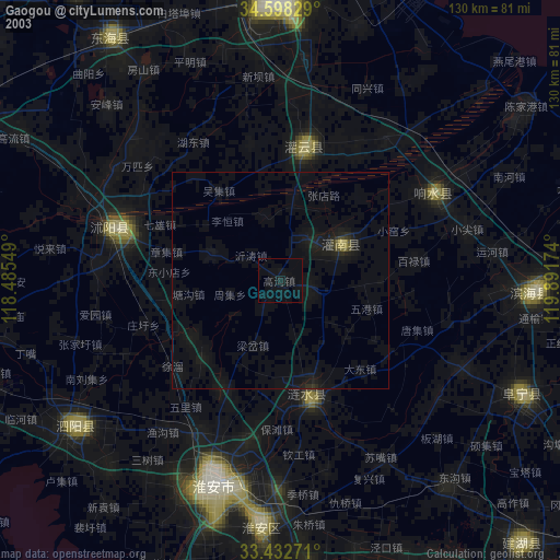
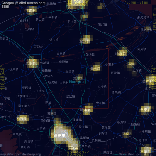
» NASA, Earths city lights 1995
» NASA city lights 2003
» Earth at Night: Flat Maps 2012, 2016