Guangshui night lights from space
Night Light of Guangshui (Hubei) from space (China) Src. Average luminocity for 10x10km area is 4.0678% and for 50x50km: 0.8664%.
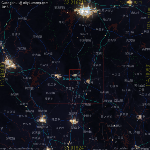


Analysis of Guangshui night lights 2016
Square area 10x10 km:
 0%
0%90-99
0%80-89
0%70-79
0%60-69
0.73%50-59
1.28%40-49
1.65%30-39
2.38%20-29
3.3%10-19
0.92%0-9
89.74%Square area 50x50 km:
0%90-99
0%80-89
0.06%70-79
0.06%60-69
0.19%50-59
0.22%40-49
0.36%30-39
0.32%20-29
0.45%10-19
0.11%0-9
98.24%Clear (daylight) street map image can be seen on geolist.org.
Map coordinates:
32° 13' 0.2" North, 113° 17' 40.8" East
31° 37' 11.6" North, 113° 59' 52.1" East
31° 1' 9.3" North, 114° 42' 3.3" East
Some cities around Guangshui sort by population:
• Xinyang
56.3 km =35 mi,  6°
6°
• Suizhou
60.9 km =37.8 mi,  279°
279°
• Chengzhong
86.2 km =53.6 mi,  209°
209°
• Xiaogan
77.4 km =48.1 mi,  185°
185°
• Xihe
50.9 km =31.6 mi, 278°
• Anlu
50.4 km =31.3 mi,  216°
216°
• Yunmeng Chengguanzhen
65.8 km =40.9 mi,  199°
199°
• Huangpi
89.4 km =55.6 mi,  156°
156°
1809879 (p: 154,771)
Sources (retrieved 2019-11-25):
» NASA, Earths city lights 1995
» NASA city lights 2003
» Earth at Night: Flat Maps 2012, 2016