Anlu night lights from space
Night Light of Anlu (Hubei) from space (China) Src. Average luminocity for 10x10km area is 24.3993% and for 50x50km: 1.4505%.
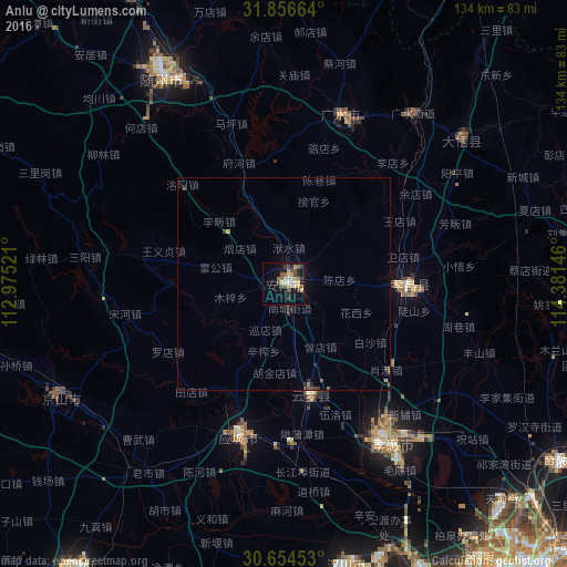
Analysis of Anlu night lights 2016
Square area 10x10 km:
 1.83%
1.83%90-99
3.3%80-89
4.21%70-79
3.48%60-69
3.48%50-59
4.76%40-49
4.21%30-39
3.11%20-29
4.4%10-19
18.32%0-9
48.9%Square area 50x50 km:
0.07%90-99
0.13%80-89
0.2%70-79
0.17%60-69
0.17%50-59
0.28%40-49
0.28%30-39
0.32%20-29
0.29%10-19
0.79%0-9
97.29%Clear (daylight) street map image can be seen on geolist.org.
Map coordinates:
31° 51' 23.9" North, 112° 58' 30.8" East
31° 15' 27" North, 113° 40' 42" East
30° 39' 16.3" North, 114° 22' 53.3" East
Some cities around Anlu sort by population:
• Suizhou
58.6 km =36.4 mi,  329°
329°
• Chengzhong
36.8 km =22.9 mi,  198°
198°
• Xiaogan
43.5 km =27 mi,  147°
147°
• Guangshui
50.4 km =31.3 mi,  36°
36°
• Xinshi
56.2 km =34.9 mi,  245°
245°
• Xihe
51.8 km =32.2 mi,  337°
337°
• Hanchuan
68.1 km =42.3 mi,  172°
172°
• Yunmeng Chengguanzhen
23.2 km =14.4 mi,  159°
159°
1818016 (p: 71,198)
Sources (retrieved 2019-11-25):
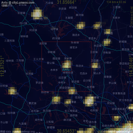
» NASA, Earths city lights 1995
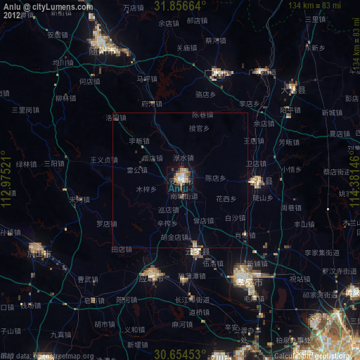
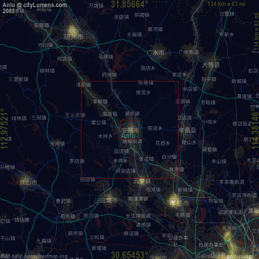
» NASA city lights 2003
» Earth at Night: Flat Maps 2012, 2016