Guiren night lights from space
Night Light of Guiren (Jiangsu) from space (China) Src. Average luminocity for 10x10km area is 0.0073% and for 50x50km: 6.0886%.
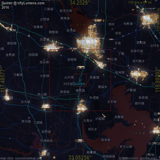
Analysis of Guiren night lights 2016
Square area 10x10 km:
 0%
0%90-99
0%80-89
0%70-79
0%60-69
0%50-59
0%40-49
0%30-39
0%20-29
0%10-19
0%0-9
100%Square area 50x50 km:
0.35%90-99
0.63%80-89
0.73%70-79
0.81%60-69
0.91%50-59
1.3%40-49
0.96%30-39
1.08%20-29
2.03%10-19
5.37%0-9
85.82%Clear (daylight) street map image can be seen on geolist.org.
Map coordinates:
34° 15' 10.4" North, 117° 29' 8.8" East
33° 40' 11" North, 118° 11' 20" East
33° 4' 57.2" North, 118° 53' 31.3" East
Some cities around Guiren sort by population:
• Tongshan
110.8 km =68.8 mi,  300°
300°
• Bengbu
111.8 km =69.5 mi,  223°
223°
• Huai'an
77.4 km =48.1 mi,  96°
96°
• Pizhou
74.7 km =46.4 mi,  342°
342°
• Mingguang
101.1 km =62.8 mi,  191°
191°
• Suicheng
34.5 km =21.4 mi,  316°
316°
• Zhongxing
45.5 km =28.3 mi,  85°
85°
• Gaogou
100.1 km =62.2 mi,  67°
67°
1809483 (p: 57,446)
Sources (retrieved 2019-11-25):
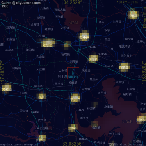
» NASA, Earths city lights 1995
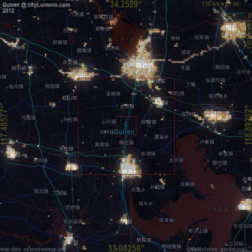
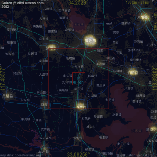
» NASA city lights 2003
» Earth at Night: Flat Maps 2012, 2016