Xinpu night lights from space
Night Light of Xinpu (Jiangsu) from space (China) Src. Average luminocity for 10x10km area is 76.5647% and for 50x50km: 15.2938%.
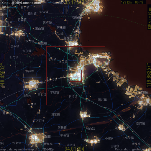
Analysis of Xinpu night lights 2016
Square area 10x10 km:
 26.92%
90-99
24.65%80-89
6.99%70-79
6.12%60-69
6.47%50-59
6.47%40-49
3.85%30-39
11.01%20-29
6.99%10-19
0.52%0-9
0%Square area 50x50 km:
2.31%90-99
2.31%80-89
1.52%70-79
1.91%60-69
2.23%50-59
2.42%40-49
2.57%30-39
3.39%20-29
4.72%10-19
8.59%0-9
68.03%Clear (daylight) street map image can be seen on geolist.org.
Map coordinates:
35° 10' 35.3" North, 118° 27' 22.8" East
34° 35' 59" North, 119° 9' 34" East
34° 1' 8.2" North, 119° 51' 45.3" East
Some cities around Xinpu sort by population:
• Linyi
90.6 km =56.3 mi,  304°
304°
• Rizhao
95.9 km =59.6 mi,  16°
16°
• Shizilu
70.3 km =43.7 mi,  334°
334°
• Dongkan
90.9 km =56.5 mi,  137°
137°
• Bianzhuang
105.6 km =65.6 mi,  285°
285°
• Xiazhuang
59.2 km =36.8 mi,  306°
306°
• Haizhou
3.4 km =2.1 mi,  234°
234°
• Gaogou
64.8 km =40.3 mi,  177°
177°
1788694 (p: 392,444)
Sources (retrieved 2019-11-25):
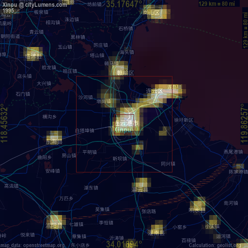
» NASA, Earths city lights 1995
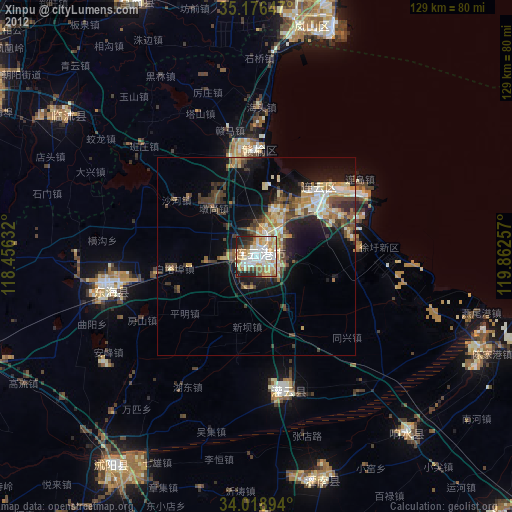
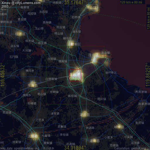
» NASA city lights 2003
» Earth at Night: Flat Maps 2012, 2016