Fenghua night lights from space
Night Light of Fenghua (Zhejiang) from space (China) Src. Average luminocity for 10x10km area is 58.8611% and for 50x50km: 24.4304%.
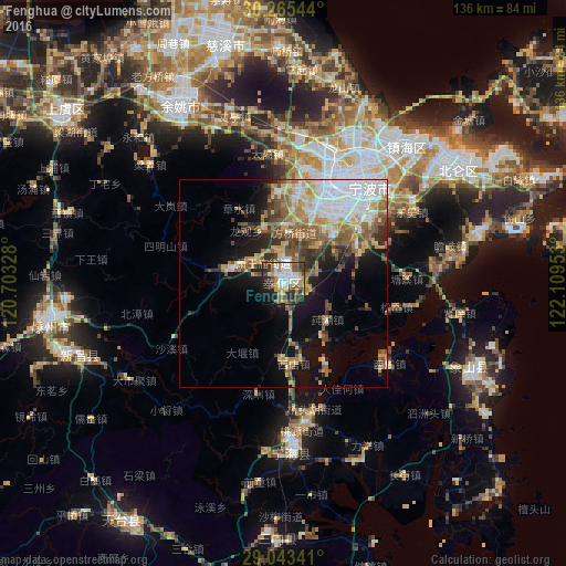
Analysis of Fenghua night lights 2016
Square area 10x10 km:
 12.1%
12.1%90-99
13.29%80-89
7.14%70-79
10.52%60-69
5.16%50-59
8.93%40-49
7.34%30-39
10.91%20-29
14.48%10-19
9.13%0-9
0.99%Square area 50x50 km:
5.48%90-99
3.37%80-89
3.12%70-79
3.56%60-69
3.43%50-59
4.51%40-49
3.74%30-39
2.62%20-29
3.94%10-19
8.91%0-9
57.33%Clear (daylight) street map image can be seen on geolist.org.
Map coordinates:
30° 15' 55.6" North, 120° 42' 11.8" East
29° 39' 22.6" North, 121° 24' 23" East
29° 2' 36.3" North, 122° 6' 34.3" East
Some cities around Fenghua sort by population:
• Ningbo
28.3 km =17.6 mi,  29°
29°
• Shangyu
65.3 km =40.6 mi,  307°
307°
• Shaoxing
88.6 km =55.1 mi,  295°
295°
• Lianghu
61.6 km =38.3 mi, 307°
• Yuyao
50.3 km =31.3 mi,  330°
330°
• Zhoushan
85.4 km =53.1 mi,  64°
64°
• Ninghai
40.9 km =25.4 mi,  177°
177°
• Zhaobaoshan
44.1 km =27.4 mi,  37°
37°
1813658 (p: 76,653)
Sources (retrieved 2019-11-25):
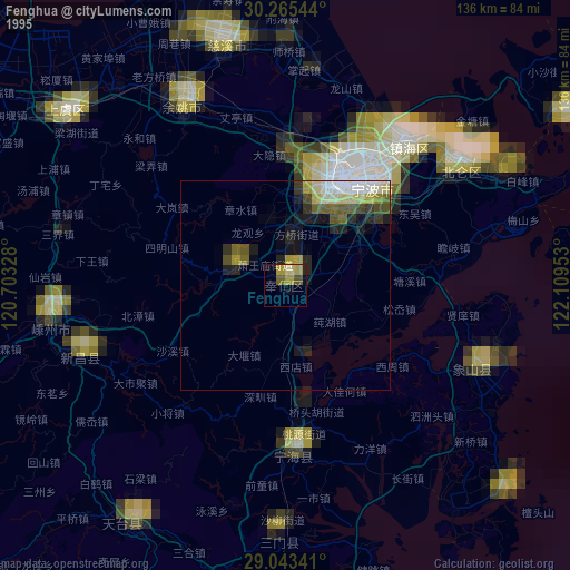
» NASA, Earths city lights 1995
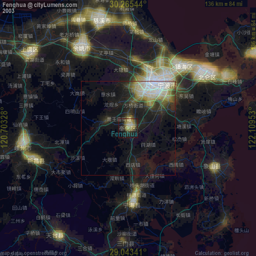
» NASA city lights 2003
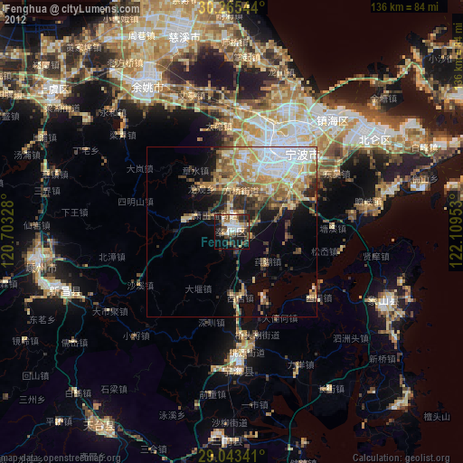
» Earth at Night: Flat Maps 2012, 2016