Yuyao night lights from space
Night Light of Yuyao (Zhejiang) from space (China) Src. Average luminocity for 10x10km area is 88.072% and for 50x50km: 38.1346%.
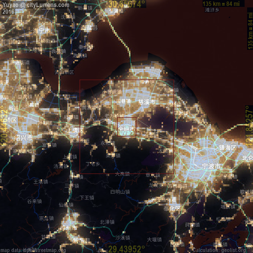
Analysis of Yuyao night lights 2016
Square area 10x10 km:
 35.04%
90-99
25.57%80-89
10.42%70-79
9.28%60-69
15.53%50-59
3.6%40-49
0.57%30-39
0%20-29
0%10-19
0%0-9
0%Square area 50x50 km:
5.26%90-99
5.1%80-89
5.8%70-79
6.77%60-69
7.8%50-59
7.12%40-49
6.45%30-39
4.6%20-29
9.3%10-19
12%0-9
29.79%Clear (daylight) street map image can be seen on geolist.org.
Map coordinates:
30° 39' 24.3" North, 120° 26' 46.8" East
30° 3' 0" North, 121° 8' 58" East
29° 26' 22.3" North, 121° 51' 9.3" East
Some cities around Yuyao sort by population:
• Ningbo
43 km =26.7 mi,  116°
116°
• Shangyu
27.1 km =16.8 mi,  261°
261°
• Shaoxing
55.2 km =34.3 mi, 264°
• Lianghu
25 km =15.5 mi,  254°
254°
• Xiaoshan
86.7 km =53.9 mi,  278°
278°
• Fenghua
50.3 km =31.3 mi,  150°
150°
• Haining
70 km =43.5 mi,  320°
320°
• Zhaobaoshan
52.6 km =32.7 mi,  99°
99°
1785545 (p: 114,177)
Sources (retrieved 2019-11-25):
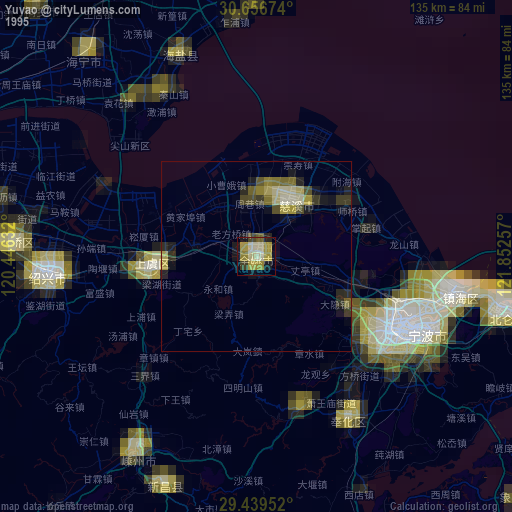
» NASA, Earths city lights 1995
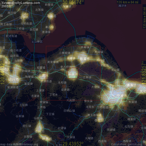
» NASA city lights 2003
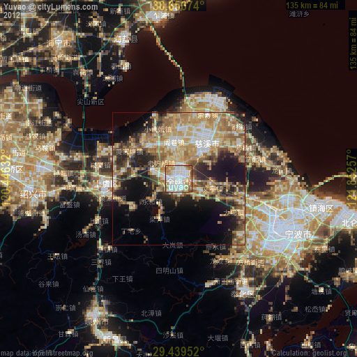
» Earth at Night: Flat Maps 2012, 2016