Nandu night lights from space
Night Light of Nandu (Guangxi) from space (China) Src. Average luminocity for 10x10km area is 0% and for 50x50km: 1.6871%.
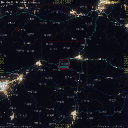
Analysis of Nandu night lights 2016
Square area 10x10 km:
 0%
0%90-99
0%80-89
0%70-79
0%60-69
0%50-59
0%40-49
0%30-39
0%20-29
0%10-19
0%0-9
100%Square area 50x50 km:
0.13%90-99
0.1%80-89
0.25%70-79
0.21%60-69
0.14%50-59
0.13%40-49
0.51%30-39
0.42%20-29
0.27%10-19
1.39%0-9
96.47%Clear (daylight) street map image can be seen on geolist.org.
Map coordinates:
23° 29' 56" North, 110° 7' 12.8" East
22° 51' 9" North, 110° 49' 24" East
22° 12' 10.9" North, 111° 31' 35.3" East
Some cities around Nandu sort by population:
• Wuzhou
86.4 km =53.7 mi,  35°
35°
• Yulin
73.2 km =45.5 mi,  250°
250°
• Xinyi
54.8 km =34.1 mi,  166°
166°
• Ducheng
84.1 km =52.3 mi,  59°
59°
• Guiping
97.4 km =60.5 mi,  308°
308°
• Pingnan
88.6 km =55.1 mi,  329°
329°
• Jinji
41.8 km =26 mi,  0°
0°
• Lingcheng
51.2 km =31.8 mi, 251°
1800101 (p: 61,881)
Sources (retrieved 2019-11-25):
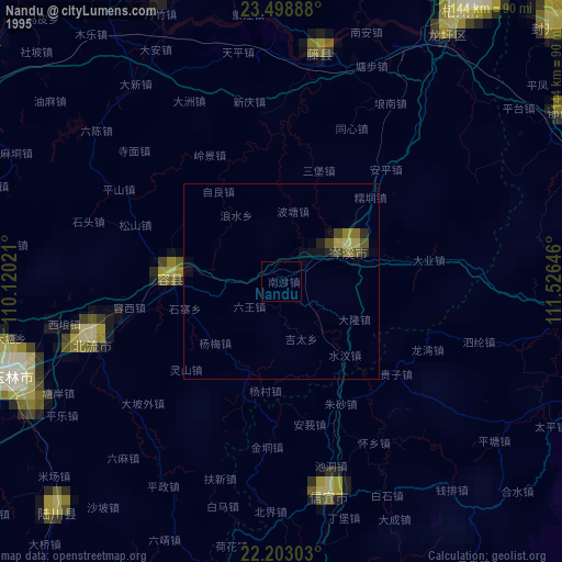
» NASA, Earths city lights 1995
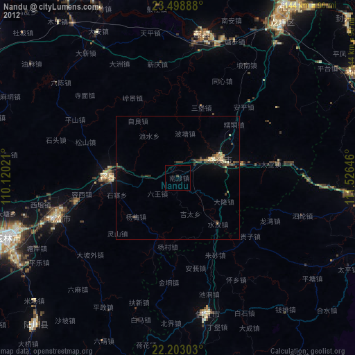
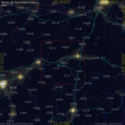
» NASA city lights 2003
» Earth at Night: Flat Maps 2012, 2016