Ankang night lights from space
Night Light of Ankang (Shaanxi) from space (China) Src. Average luminocity for 10x10km area is 39.1311% and for 50x50km: 2.5883%.
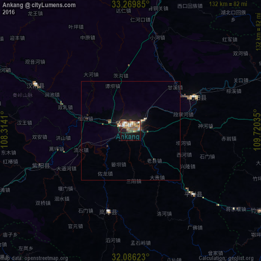
Analysis of Ankang night lights 2016
Square area 10x10 km:
 4.37%
4.37%90-99
6.12%80-89
6.29%70-79
5.07%60-69
8.39%50-59
9.09%40-49
6.29%30-39
3.5%20-29
3.5%10-19
24.3%0-9
23.08%Square area 50x50 km:
0.2%90-99
0.3%80-89
0.27%70-79
0.24%60-69
0.5%50-59
0.56%40-49
0.42%30-39
0.34%20-29
0.38%10-19
2.57%0-9
94.21%Clear (daylight) street map image can be seen on geolist.org.
Map coordinates:
33° 16' 11.5" North, 108° 18' 50.8" East
32° 40' 48" North, 109° 1' 2" East
32° 5' 10.4" North, 109° 43' 13.3" East
Some cities around Ankang sort by population:
• Xi’an
175.7 km =109.2 mi,  357°
357°
• Shiyan
164.9 km =102.5 mi,  91°
91°
• Xianyang
186.6 km =115.9 mi,  351°
351°
• Wanxian
216.1 km =134.3 mi,  196°
196°
• Weinan
207.8 km =129.1 mi,  12°
12°
• Hanzhong
191.4 km =118.9 mi,  283°
283°
• Lintong
189.6 km =117.8 mi, 5°
• Yuxia
157.8 km =98.1 mi, 346°
1789065 (p: 132,654)
Sources (retrieved 2019-11-25):
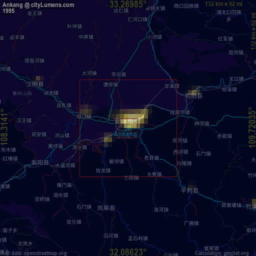
» NASA, Earths city lights 1995
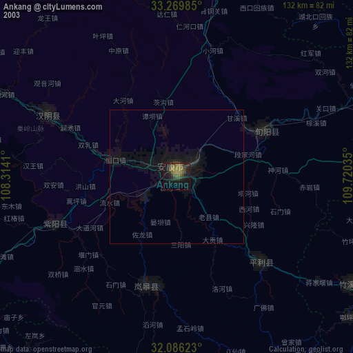
» NASA city lights 2003
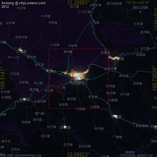
» Earth at Night: Flat Maps 2012, 2016