Lintong night lights from space
Night Light of Lintong (Shaanxi) from space (China) Src. Average luminocity for 10x10km area is 54.2326% and for 50x50km: 32.9582%.
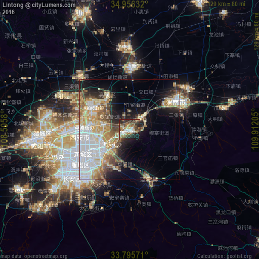
Analysis of Lintong night lights 2016
Square area 10x10 km:
 9.52%
9.52%90-99
9.16%80-89
5.86%70-79
4.76%60-69
12.45%50-59
6.59%40-49
13.19%30-39
13.74%20-29
14.65%10-19
8.97%0-9
1.1%Square area 50x50 km:
8.82%90-99
5.98%80-89
4.31%70-79
4.98%60-69
4.66%50-59
3.2%40-49
3.99%30-39
3.15%20-29
4.89%10-19
9.28%0-9
46.73%Clear (daylight) street map image can be seen on geolist.org.
Map coordinates:
34° 57' 22.8" North, 108° 30' 20.9" East
34° 22' 40.9" North, 109° 12' 32.1" East
33° 47' 44.6" North, 109° 54' 43.4" East
Some cities around Lintong sort by population:
• Xi’an
29 km =18 mi,  242°
242°
• Xianyang
46.7 km =29 mi,  264°
264°
• Huayin
81.3 km =50.5 mi,  75°
75°
• Tongchuanshi
78.3 km =48.7 mi,  351°
351°
• Weinan
30.8 km =19.1 mi,  63°
63°
• Yanliang
31.3 km =19.4 mi,  3°
3°
• Yuxia
63.9 km =39.7 mi, 236°
• Hancheng
163.9 km =101.8 mi,  42°
42°
1803266 (p: 75,882)
Sources (retrieved 2019-11-25):
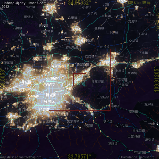
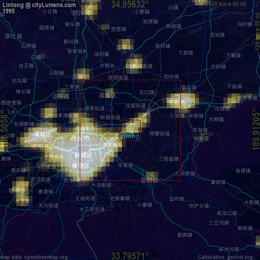
» NASA, Earths city lights 1995
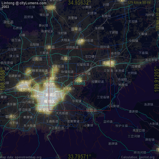
» NASA city lights 2003
» Earth at Night: Flat Maps 2012, 2016