Weinan night lights from space
Night Light of Weinan (Shaanxi) from space (China) Src. Average luminocity for 10x10km area is 52.764% and for 50x50km: 8.5819%.
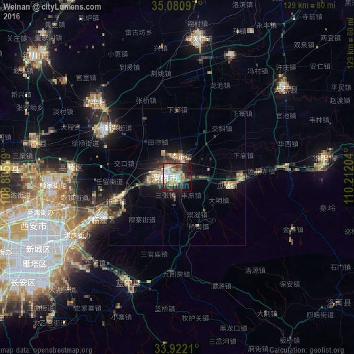
Analysis of Weinan night lights 2016
Square area 10x10 km:
 7.87%
7.87%90-99
13.81%80-89
7.69%70-79
6.64%60-69
8.22%50-59
4.02%40-49
8.22%30-39
8.74%20-29
15.38%10-19
16.26%0-9
3.15%Square area 50x50 km:
0.53%90-99
1.19%80-89
1.4%70-79
1%60-69
1.34%50-59
0.95%40-49
1.32%30-39
1.83%20-29
2.74%10-19
6.67%0-9
81.05%Clear (daylight) street map image can be seen on geolist.org.
Map coordinates:
35° 4' 51.5" North, 108° 48' 20.8" East
34° 30' 12.8" North, 109° 30' 32.1" East
33° 55' 19.6" North, 110° 12' 43.3" East
Some cities around Weinan sort by population:
• Xi’an
59.8 km =37.2 mi,  242°
242°
• Xianyang
76.2 km =47.3 mi,  256°
256°
• Huayin
51.5 km =32 mi,  82°
82°
• Tongchuanshi
74.4 km =46.2 mi,  328°
328°
• Lintong
30.8 km =19.1 mi, 243°
• Yanliang
30.9 km =19.2 mi,  304°
304°
• Yuxia
94.6 km =58.8 mi, 238°
• Hancheng
135.4 km =84.1 mi,  38°
38°
1791636 (p: 172,321)
Sources (retrieved 2019-11-25):
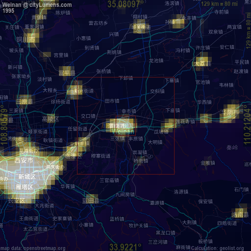
» NASA, Earths city lights 1995
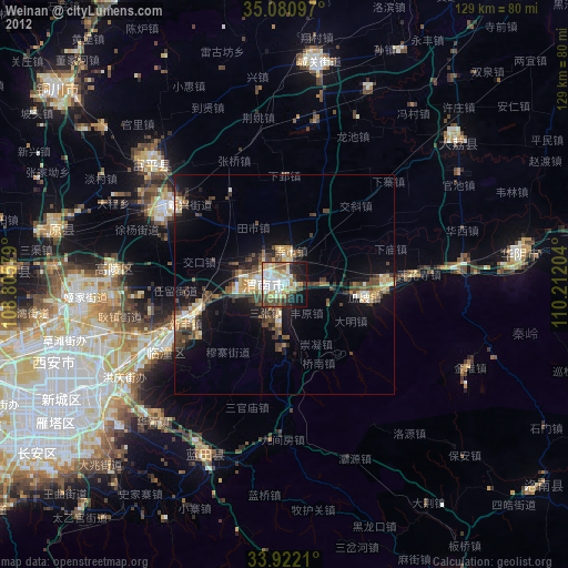
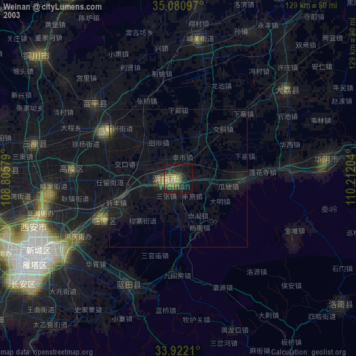
» NASA city lights 2003
» Earth at Night: Flat Maps 2012, 2016