Tcholliré night lights from space
Night Light of Tcholliré (North) from space (Cameroon) Src. Average luminocity for 10x10km area is 0% and for 50x50km: 0.0037%.
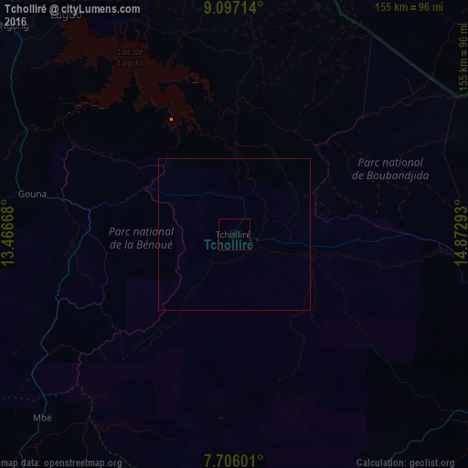

Analysis of Tcholliré night lights 2016
Square area 10x10 km:
 0%
0%90-99
0%80-89
0%70-79
0%60-69
0%50-59
0%40-49
0%30-39
0%20-29
0%10-19
0%0-9
100%Square area 50x50 km:
0%90-99
0%80-89
0%70-79
0%60-69
0%50-59
0%40-49
0%30-39
0%20-29
0%10-19
0%0-9
100%Clear (daylight) street map image can be seen on geolist.org.
Map coordinates:
9° 5' 49.7" North, 13° 28' 0" East
8° 24' 7.9" North, 14° 10' 11.3" East
7° 42' 21.6" North, 14° 52' 22.5" East
Some cities around Tcholliré sort by population:
• Garoua
131.1 km =81.5 mi,  319°
319°
• Ngaoundéré
135.7 km =84.3 mi,  208°
208°
• Pala, TD
134 km =83.3 mi,  37°
37°
• Lagdo
91.6 km =56.9 mi, 322°
• Pitoa
131.5 km =81.7 mi,  326°
326°
• Rey Bouba
30.1 km =18.7 mi,  1°
1°
• Beïnamar, TD
136.5 km =84.8 mi,  77°
77°
• Poli
102.5 km =63.7 mi,  274°
274°
2221607 (p: 23,187)
Sources (retrieved 2019-11-25):
» Earth at Night: Flat Maps 2012, 2016