Tonga night lights from space
Night Light of Tonga (West) from space (Cameroon) Src. Average luminocity for 10x10km area is 0% and for 50x50km: 0.1708%.
Analysis of Tonga night lights 2016
Square area 10x10 km:
100  0%
0%
90-99 0%
80-89 0%
70-79 0%
60-69 0%
50-59 0%
40-49 0%
30-39 0%
20-29 0%
10-19 0%
0-9 100%
0%90-99
0%80-89
0%70-79
0%60-69
0%50-59
0%40-49
0%30-39
0%20-29
0%10-19
0%0-9
100%Square area 50x50 km:
100 0%
90-99 0%
80-89 0%
70-79 0%
60-69 0%
50-59 0.15%
40-49 0.06%
30-39 0.07%
20-29 0.07%
10-19 0.06%
0-9 99.6%
0%90-99
0%80-89
0%70-79
0%60-69
0%50-59
0.15%40-49
0.06%30-39
0.07%20-29
0.07%10-19
0.06%0-9
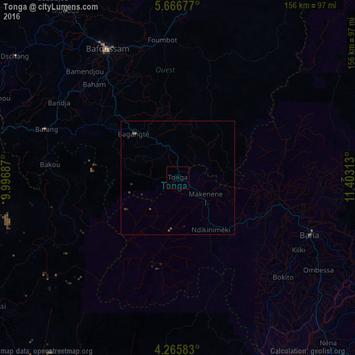
99.6%Clear (daylight) street map image can be seen on geolist.org.
Map coordinates:
5° 40' 0.4" North, 9° 59' 48.7" East
4° 58' 0" North, 10° 42' 0" East
4° 15' 57" North, 11° 24' 11.3" East
Some cities around Tonga sort by population:
• Foumbot
60.7 km =37.7 mi,  352°
352°
• Bafang
61.7 km =38.3 mi,  290°
290°
• Bangangté
27.4 km =17 mi,  315°
315°
• Bazou
27.8 km =17.3 mi, 291°
• Ndikiniméki
26.7 km =16.6 mi,  146°
146°
• Ngou
43.2 km =26.8 mi,  306°
306°
• Bandjoun
55.5 km =34.5 mi,  325°
325°
• Bana
51.1 km =31.8 mi, 293°
2221394 (p: 16,036)
Sources (retrieved 2019-11-25):
» Earth at Night: Flat Maps 2012, 2016