Valparaíso night lights from space
Night Light of Valparaíso from space (Chile) Src. Average luminocity for 10x10km area is 47.8205% and for 50x50km: 11.5007%.
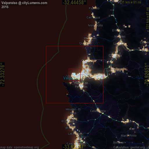
Analysis of Valparaíso night lights 2016
Square area 10x10 km:
 10.44%
90-99
15.93%80-89
6.78%70-79
3.11%60-69
2.75%50-59
2.75%40-49
1.83%30-39
7.88%20-29
13.92%10-19
23.81%0-9
10.81%Square area 50x50 km:
2.04%90-99
2.49%80-89
1.47%70-79
1.34%60-69
1.1%50-59
1.02%40-49
0.8%30-39
1.72%20-29
4.4%10-19
6.98%0-9
76.64%Clear (daylight) street map image can be seen on geolist.org.
Map coordinates:
32° 26' 40.5" South, 72° 19' 57.9" West
33° 2' 9.6" South, 71° 37' 46.7" West
33° 37' 24.5" South, 70° 55' 35.4" West
Some cities around Valparaíso sort by population:
• Viña del Mar
7.4 km =4.6 mi,  80°
80°
• Quilpué
17.5 km =10.9 mi,  94°
94°
• Villa Alemana
23.9 km =14.9 mi, 91°
• San Antonio
62.2 km =38.6 mi,  178°
178°
• Quillota
39.4 km =24.5 mi,  64°
64°
• Hacienda La Calera
47.7 km =29.6 mi,  53°
53°
• Limache
33.9 km =21.1 mi, 86°
• Cartagena
57.6 km =35.8 mi, 177°
3868626 (p: 282,448)
Sources (retrieved 2019-11-25):
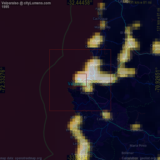
» NASA, Earths city lights 1995
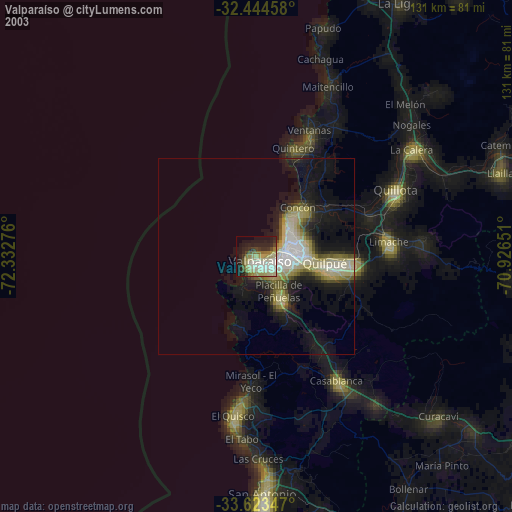
» NASA city lights 2003
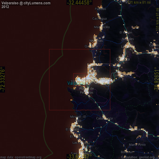
» Earth at Night: Flat Maps 2012, 2016