San Antonio night lights from space
Night Light of San Antonio (Valparaíso) from space (Chile) Src. Average luminocity for 10x10km area is 43.1026% and for 50x50km: 5.5314%.
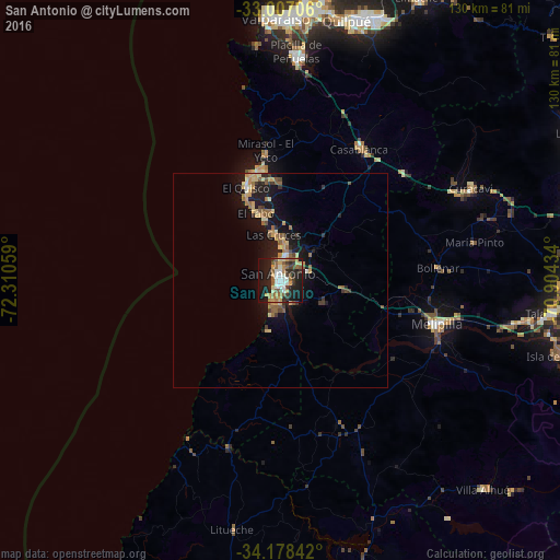
Analysis of San Antonio night lights 2016
Square area 10x10 km:
 5.31%
5.31%90-99
7.88%80-89
6.23%70-79
5.86%60-69
5.86%50-59
8.24%40-49
3.85%30-39
6.41%20-29
15.75%10-19
31.32%0-9
3.3%Square area 50x50 km:
0.27%90-99
0.45%80-89
1.01%70-79
0.9%60-69
0.88%50-59
1.15%40-49
0.52%30-39
0.85%20-29
1.24%10-19
5.84%0-9
86.89%Clear (daylight) street map image can be seen on geolist.org.
Map coordinates:
33° 0' 25.4" South, 72° 18' 38.1" West
33° 35' 41" South, 71° 36' 26.9" West
34° 10' 42.3" South, 70° 54' 15.6" West
Some cities around San Antonio sort by population:
• Viña del Mar
63.6 km =39.5 mi,  4°
4°
• Valparaíso
62.2 km =38.6 mi,  358°
358°
• Quilpué
62.7 km =39 mi,  14°
14°
• Villa Alemana
65.2 km =40.5 mi,  19°
19°
• Melipilla
37.8 km =23.5 mi,  106°
106°
• Talagante
63.4 km =39.4 mi,  96°
96°
• El Monte
58.4 km =36.3 mi, 99°
• Cartagena
4.5 km =2.8 mi, 359°
3872395 (p: 85,651)
Sources (retrieved 2019-11-25):
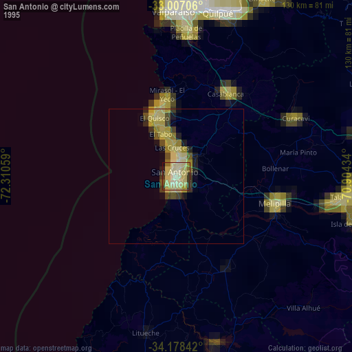
» NASA, Earths city lights 1995
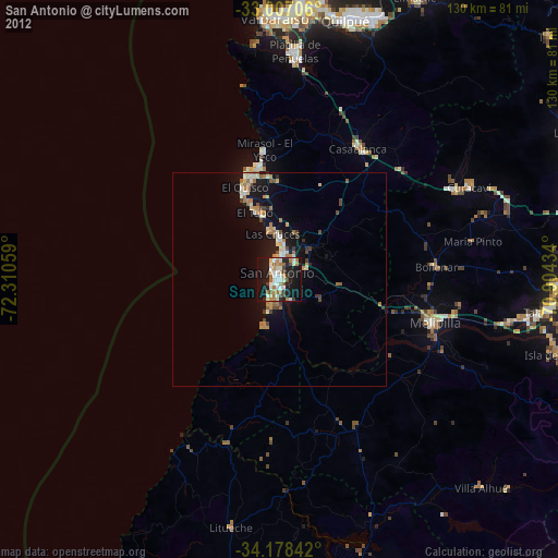
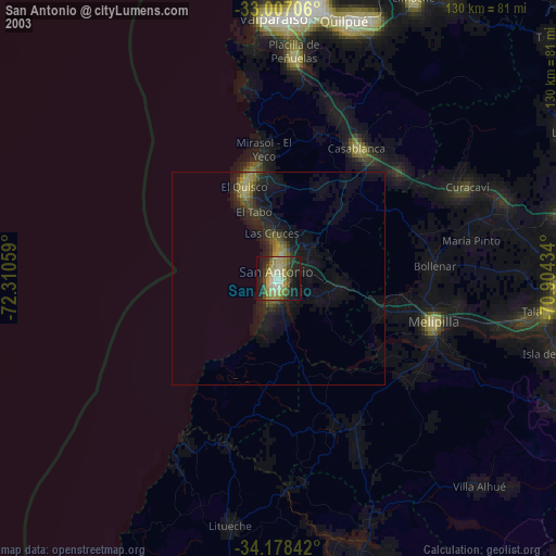
» NASA city lights 2003
» Earth at Night: Flat Maps 2012, 2016