Ovalle night lights from space
Night Light of Ovalle (Coquimbo Region) from space (Chile) Src. Average luminocity for 10x10km area is 31.5542% and for 50x50km: 2.5919%.
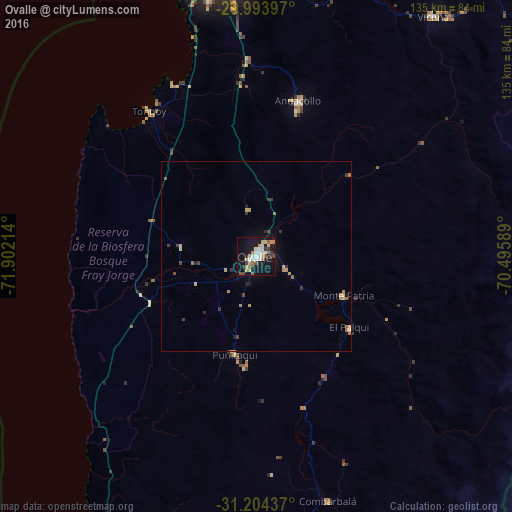
Analysis of Ovalle night lights 2016
Square area 10x10 km:
 5.59%
5.59%90-99
4.2%80-89
6.47%70-79
2.45%60-69
4.37%50-59
3.67%40-49
1.92%30-39
3.85%20-29
1.92%10-19
42.48%0-9
23.08%Square area 50x50 km:
0.24%90-99
0.18%80-89
0.54%70-79
0.4%60-69
0.35%50-59
0.32%40-49
0.22%30-39
0.49%20-29
0.26%10-19
2.17%0-9
94.83%Clear (daylight) street map image can be seen on geolist.org.
Map coordinates:
29° 59' 38.3" South, 71° 54' 7.7" West
30° 36' 3.8" South, 71° 11' 56.4" West
31° 12' 15.7" South, 70° 29' 45.2" West
Some cities around Ovalle sort by population:
• Coquimbo
73.3 km =45.5 mi,  349°
349°
• La Serena
77.6 km =48.2 mi,  356°
356°
• La Ligua
205.9 km =127.9 mi,  180°
180°
• Illapel
114.8 km =71.3 mi, 178°
• Monte Patria
25.3 km =15.7 mi,  114°
114°
• Vicuña
78.3 km =48.7 mi,  36°
36°
• Salamanca
132.9 km =82.6 mi,  170°
170°
• Calingasta, AR
188.1 km =116.9 mi,  115°
115°
3877918 (p: 77,138)
Sources (retrieved 2019-11-25):
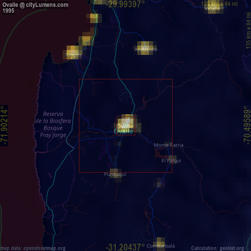
» NASA, Earths city lights 1995
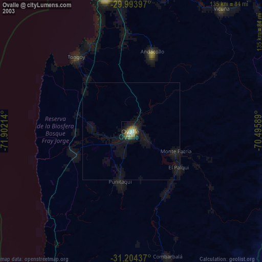
» NASA city lights 2003
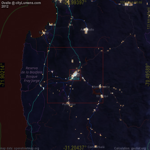
» Earth at Night: Flat Maps 2012, 2016