Melipilla night lights from space
Night Light of Melipilla (Santiago Metropolitan) from space (Chile) Src. Average luminocity for 10x10km area is 26.7894% and for 50x50km: 2.8238%.
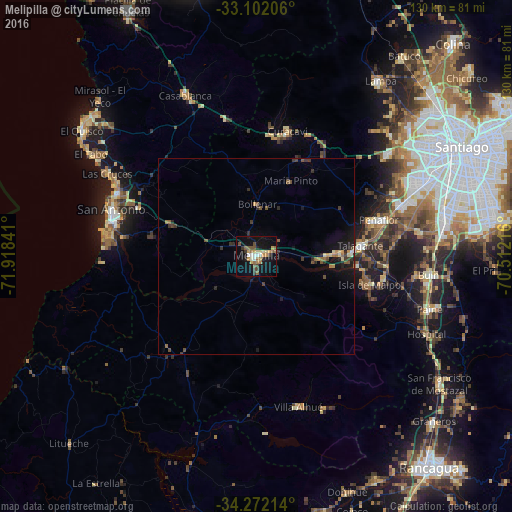
Analysis of Melipilla night lights 2016
Square area 10x10 km:
 2.2%
2.2%90-99
3.11%80-89
3.66%70-79
4.4%60-69
4.03%50-59
6.41%40-49
3.48%30-39
3.48%20-29
2.01%10-19
27.29%0-9
39.93%Square area 50x50 km:
0.11%90-99
0.18%80-89
0.35%70-79
0.35%60-69
0.4%50-59
0.6%40-49
0.42%30-39
0.65%20-29
0.65%10-19
2.65%0-9
93.64%Clear (daylight) street map image can be seen on geolist.org.
Map coordinates:
33° 6' 7.4" South, 71° 55' 6.3" West
33° 41' 20.7" South, 71° 12' 55" West
34° 16' 19.7" South, 70° 30' 43.8" West
Some cities around Melipilla sort by population:
• San Bernardo
48.9 km =30.4 mi,  77°
77°
• San Antonio
37.8 km =23.5 mi,  286°
286°
• Peñaflor
32.7 km =20.3 mi,  73°
73°
• Buin
44 km =27.3 mi,  96°
96°
• Talagante
26.8 km =16.7 mi, 83°
• Paine
45.8 km =28.5 mi,  106°
106°
• El Monte
21.3 km =13.2 mi,  87°
87°
• Cartagena
39.3 km =24.4 mi, 292°
3880107 (p: 63,100)
Sources (retrieved 2019-11-25):
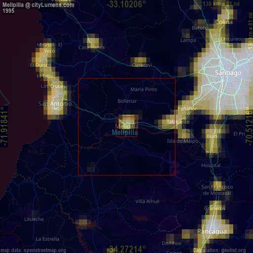
» NASA, Earths city lights 1995
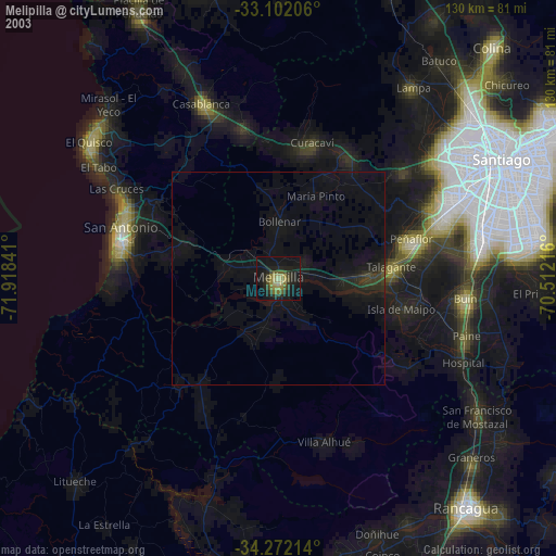
» NASA city lights 2003
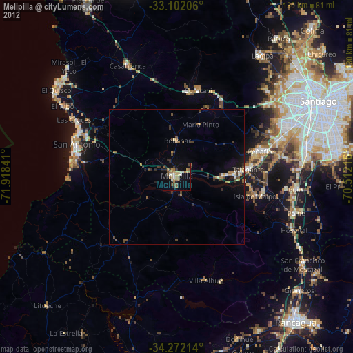
» Earth at Night: Flat Maps 2012, 2016