El Monte night lights from space
Night Light of El Monte (Santiago Metropolitan) from space (Chile) Src. Average luminocity for 10x10km area is 27.8773% and for 50x50km: 17.2764%.
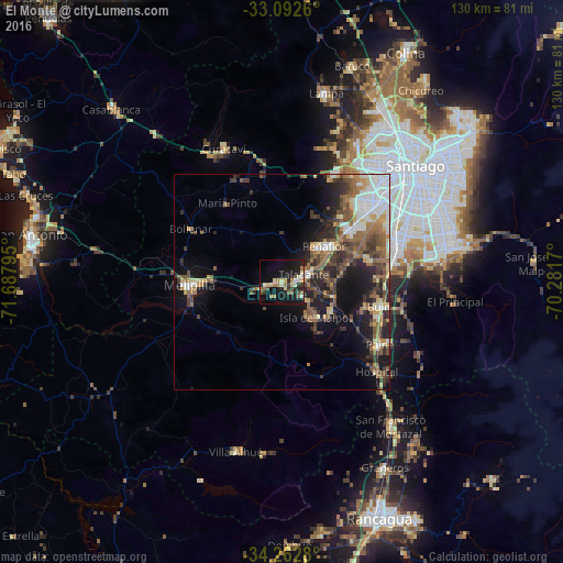
Analysis of El Monte night lights 2016
Square area 10x10 km:
 1.83%
1.83%90-99
2.2%80-89
6.23%70-79
3.85%60-69
6.04%50-59
3.3%40-49
1.47%30-39
4.21%20-29
8.42%10-19
32.6%0-9
29.85%Square area 50x50 km:
2.49%90-99
2.5%80-89
1.85%70-79
1.75%60-69
2.68%50-59
3.94%40-49
2.77%30-39
3.57%20-29
4.66%10-19
9.27%0-9
64.51%Clear (daylight) street map image can be seen on geolist.org.
Map coordinates:
33° 5' 33.4" South, 71° 41' 16.6" West
33° 40' 46.9" South, 70° 59' 5.4" West
34° 15' 46.1" South, 70° 16' 54.1" West
Some cities around El Monte sort by population:
• San Bernardo
28.1 km =17.5 mi,  69°
69°
• La Pintana
34.2 km =21.3 mi, 71°
• Lo Prado
35.5 km =22.1 mi,  42°
42°
• Peñaflor
12.9 km =8 mi,  50°
50°
• Melipilla
21.3 km =13.2 mi,  267°
267°
• Buin
23.1 km =14.4 mi,  104°
104°
• Talagante
5.6 km =3.5 mi, 71°
• Paine
26.7 km =16.6 mi,  122°
122°
3890949 (p: 23,090)
Sources (retrieved 2019-11-25):
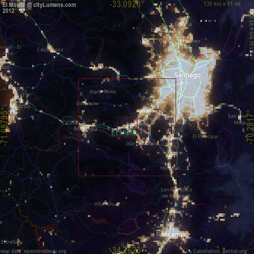
» Earth at Night: Flat Maps 2012, 2016