El Calafate night lights from space
Night Light of El Calafate (Santa Cruz) from space (Argentina) Src. Average luminocity for 10x10km area is 25.5126% and for 50x50km: 1.1021%.
Analysis of El Calafate night lights 2016
Square area 10x10 km:
 1.26%
1.26%90-99
4.62%80-89
5.32%70-79
4.06%60-69
3.92%50-59
2.66%40-49
2.66%30-39
1.96%20-29
1.82%10-19
29.13%0-9
42.58%Square area 50x50 km:
0.05%90-99
0.18%80-89
0.21%70-79
0.16%60-69
0.15%50-59
0.1%40-49
0.13%30-39
0.1%20-29
0.07%10-19
1.14%0-9
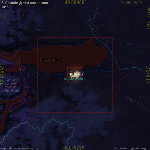
97.7%Clear (daylight) street map image can be seen on geolist.org.
Map coordinates:
49° 53' 23.6" South, 72° 58' 47.8" West
50° 20' 26.7" South, 72° 16' 36.6" West
50° 47' 14.6" South, 71° 34' 25.3" West
Some cities around El Calafate sort by population:
• Punta Arenas, CL
326.7 km =203 mi,  163°
163°
• Río Gallegos
257.2 km =159.8 mi,  123°
123°
• Río Grande
494.1 km =307 mi,  140°
140°
• Puerto Natales, CL
155.3 km =96.5 mi,  185°
185°
• Las Heras
488.9 km =303.8 mi,  30°
30°
• Yacimiento Río Turbio
137.1 km =85.2 mi,  182°
182°
• Río Turbio
133 km =82.6 mi, 181°
• San Julián
346 km =215 mi,  70°
70°
3858677 (p: 8,000)
Sources (retrieved 2019-11-25):
» Earth at Night: Flat Maps 2012, 2016