Río Turbio night lights from space
Night Light of Río Turbio (Santa Cruz) from space (Argentina) Src. Average luminocity for 10x10km area is 5.4773% and for 50x50km: 0.7734%.
Analysis of Río Turbio night lights 2016
Square area 10x10 km:
 0.67%
0.67%90-99
1.47%80-89
0.53%70-79
0.94%60-69
0.13%50-59
0%40-49
0.53%30-39
1.74%20-29
0.67%10-19
0%0-9
93.32%Square area 50x50 km:
0.06%90-99
0.19%80-89
0.02%70-79
0.11%60-69
0.13%50-59
0.04%40-49
0.12%30-39
0.24%20-29
0.12%10-19
0%0-9
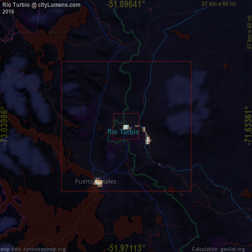
98.96%Clear (daylight) street map image can be seen on geolist.org.
Map coordinates:
51° 5' 47.1" South, 73° 2' 23.5" West
51° 32' 9.1" South, 72° 20' 12.2" West
51° 58' 16.1" South, 71° 38' 1" West
Some cities around Río Turbio sort by population:
• Punta Arenas, CL
204.4 km =127 mi,  151°
151°
• Río Gallegos
215.7 km =134 mi,  92°
92°
• Ushuaia
452 km =280.9 mi,  143°
143°
• Río Grande
399.9 km =248.5 mi,  128°
128°
• Puerto Natales, CL
24.5 km =15.2 mi,  208°
208°
• El Calafate
133 km =82.6 mi,  1°
1°
• Yacimiento Río Turbio
4.3 km =2.7 mi,  193°
193°
• San Julián
409.9 km =254.7 mi,  52°
52°
8521759 (p: 6,650)
Sources (retrieved 2019-11-25):
» Earth at Night: Flat Maps 2012, 2016