Concepción night lights from space
Night Light of Concepción (Biobío) from space (Chile) Src. Average luminocity for 10x10km area is 70.487% and for 50x50km: 13.5204%.
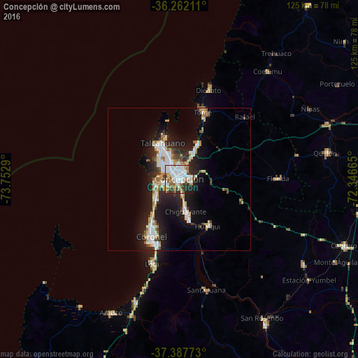
Analysis of Concepción night lights 2016
Square area 10x10 km:
 26.95%
90-99
16.23%80-89
3.9%70-79
8.6%60-69
10.88%50-59
4.22%40-49
6.01%30-39
6.33%20-29
13.47%10-19
3.41%0-9
0%Square area 50x50 km:
3.06%90-99
2.44%80-89
1.53%70-79
1.43%60-69
1.6%50-59
1.06%40-49
0.98%30-39
1.61%20-29
3.85%10-19
9.64%0-9
72.79%Clear (daylight) street map image can be seen on geolist.org.
Map coordinates:
36° 15' 43.6" South, 73° 45' 10.4" West
36° 49' 37.2" South, 73° 2' 59.2" West
37° 23' 15.8" South, 72° 20' 47.9" West
Some cities around Concepción sort by population:
• Talcahuano
12.8 km =8 mi,  332°
332°
• Coronel
24.4 km =15.2 mi,  199°
199°
• Chiguayante
11.1 km =6.9 mi,  170°
170°
• Lota
30.8 km =19.1 mi, 198°
• Tomé
24.7 km =15.3 mi,  19°
19°
• Penco
10.7 km =6.6 mi,  26°
26°
• Arauco
52.3 km =32.5 mi,  207°
207°
• Yumbel
52.9 km =32.9 mi,  124°
124°
3893894 (p: 215,413)
Sources (retrieved 2019-11-25):
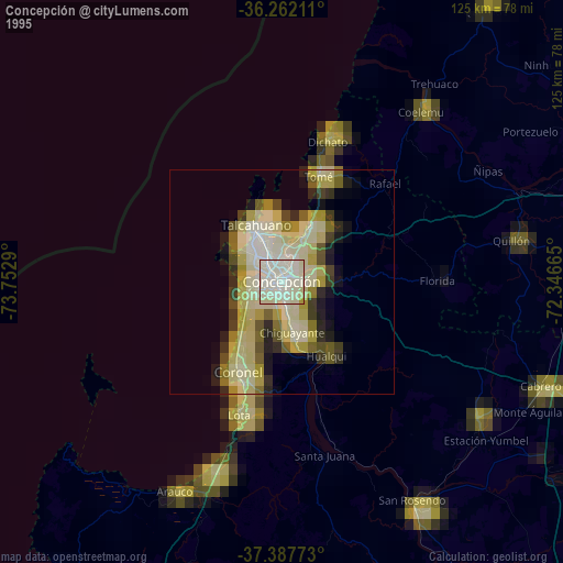
» NASA, Earths city lights 1995
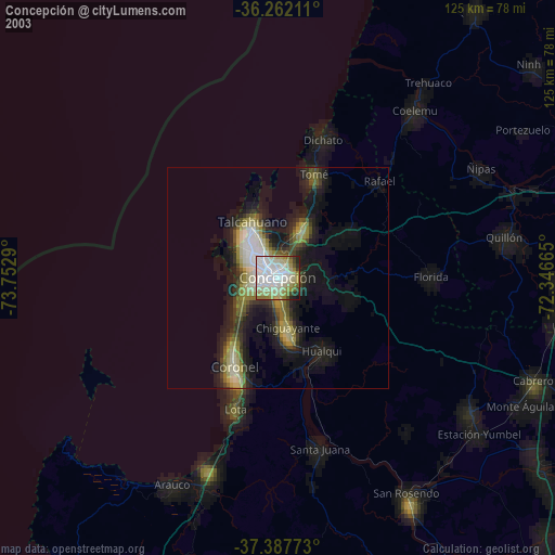
» NASA city lights 2003
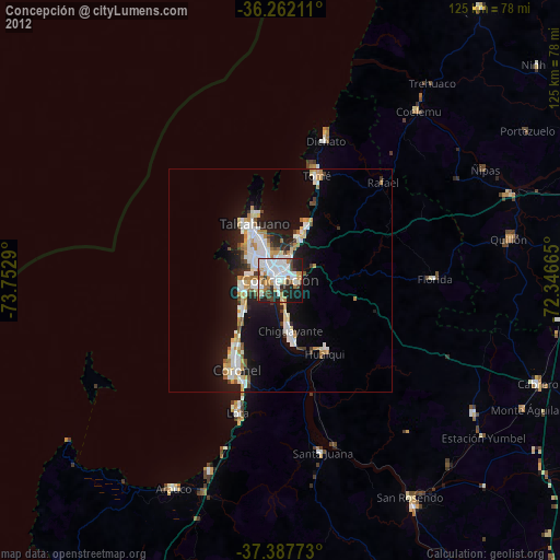
» Earth at Night: Flat Maps 2012, 2016