Arauco night lights from space
Night Light of Arauco (Biobío) from space (Chile) Src. Average luminocity for 10x10km area is 8.449% and for 50x50km: 3.0671%.
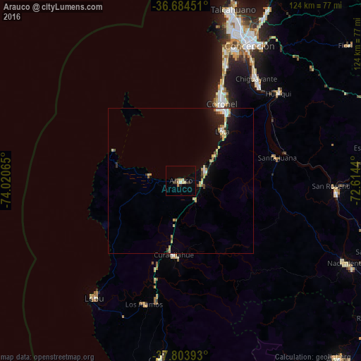
Analysis of Arauco night lights 2016
Square area 10x10 km:
 0.34%
0.34%90-99
1.02%80-89
0.85%70-79
2.38%60-69
0.85%50-59
0%40-49
1.02%30-39
1.7%20-29
1.87%10-19
0.17%0-9
89.8%Square area 50x50 km:
0.29%90-99
0.44%80-89
0.56%70-79
0.54%60-69
0.21%50-59
0.2%40-49
0.3%30-39
0.34%20-29
0.66%10-19
1.75%0-9
94.7%Clear (daylight) street map image can be seen on geolist.org.
Map coordinates:
36° 41' 4.2" South, 74° 1' 14.3" West
37° 14' 46.7" South, 73° 19' 3.1" West
37° 48' 14.1" South, 72° 36' 51.8" West
Some cities around Arauco sort by population:
• Talcahuano
60.6 km =37.7 mi,  17°
17°
• Concepción
52.3 km =32.5 mi,  27°
27°
• Coronel
28.4 km =17.6 mi, 33°
• Chiguayante
43.9 km =27.3 mi,  35°
35°
• Lota
22.4 km =13.9 mi, 39°
• Curanilahue
25.9 km =16.1 mi,  185°
185°
• Lebu
50 km =31.1 mi,  216°
216°
• Laja
53.8 km =33.4 mi,  94°
94°
3899462 (p: 24,659)
Sources (retrieved 2019-11-25):
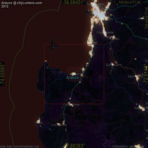
» Earth at Night: Flat Maps 2012, 2016