Yumbel night lights from space
Night Light of Yumbel (Biobío) from space (Chile) Src. Average luminocity for 10x10km area is 4.6241% and for 50x50km: 2.3244%.
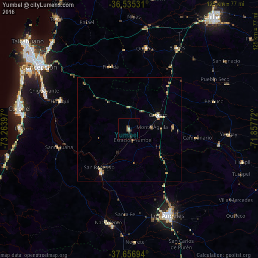
Analysis of Yumbel night lights 2016
Square area 10x10 km:
 0%
0%90-99
0.17%80-89
1.19%70-79
0%60-69
2.04%50-59
0.68%40-49
0%30-39
1.53%20-29
1.19%10-19
0%0-9
93.2%Square area 50x50 km:
0.1%90-99
0.25%80-89
0.58%70-79
0.3%60-69
0.34%50-59
0.29%40-49
0.3%30-39
0.47%20-29
0.36%10-19
0.1%0-9
96.9%Clear (daylight) street map image can be seen on geolist.org.
Map coordinates:
36° 32' 7.1" South, 73° 15' 50.3" West
37° 5' 53.5" South, 72° 33' 39" West
37° 39' 25" South, 71° 51' 27.8" West
Some cities around Yumbel sort by population:
• Los Ángeles
45.2 km =28.1 mi,  156°
156°
• Coronel
51.9 km =32.2 mi,  277°
277°
• Chiguayante
45.7 km =28.4 mi,  294°
294°
• Lota
52.9 km =32.9 mi,  270°
270°
• Nacimiento
46 km =28.6 mi,  192°
192°
• Cabrero
15.6 km =9.7 mi,  62°
62°
• Laja
24.6 km =15.3 mi,  212°
212°
• Bulnes
45.9 km =28.5 mi,  30°
30°
3867625 (p: 11,111)
Sources (retrieved 2019-11-25):
» Earth at Night: Flat Maps 2012, 2016