Tilcara night lights from space
Night Light of Tilcara (Jujuy) from space (Argentina) Src. Average luminocity for 10x10km area is 9.6171% and for 50x50km: 0.7373%.
Analysis of Tilcara night lights 2016
Square area 10x10 km:
 0%
0%90-99
0%80-89
3.57%70-79
2.38%60-69
1.98%50-59
0%40-49
0.4%30-39
2.58%20-29
0.6%10-19
1.39%0-9
87.1%Square area 50x50 km:
0%90-99
0%80-89
0.2%70-79
0.23%60-69
0.09%50-59
0.06%40-49
0.06%30-39
0.32%20-29
0.07%10-19
0.1%0-9
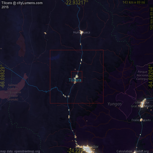
98.87%Clear (daylight) street map image can be seen on geolist.org.
Map coordinates:
22° 55' 55.8" South, 66° 5' 53.8" West
23° 34' 41.4" South, 65° 23' 42.6" West
24° 13' 15.6" South, 64° 41' 31.3" West
Some cities around Tilcara sort by population:
• San Salvador de Jujuy
69.3 km =43.1 mi,  171°
171°
• San Pedro de Jujuy
90.4 km =56.2 mi,  143°
143°
• Libertador General San Martín
66.9 km =41.6 mi,  112°
112°
• Palpalá
77.7 km =48.3 mi, 166°
• Fraile Pintado
72.8 km =45.2 mi,  123°
123°
• Humahuaca
41.7 km =25.9 mi,  6°
6°
• Caimancito
83.6 km =51.9 mi,  102°
102°
• Calilegua
67.3 km =41.8 mi, 108°
3834403 (p: 5,640)
Sources (retrieved 2019-11-25):
» Earth at Night: Flat Maps 2012, 2016