Altendorf night lights from space
Night Light of Altendorf (Schwyz) from space (Switzerland) Src. Average luminocity for 10x10km area is 18.375% and for 50x50km: 8.9586%.
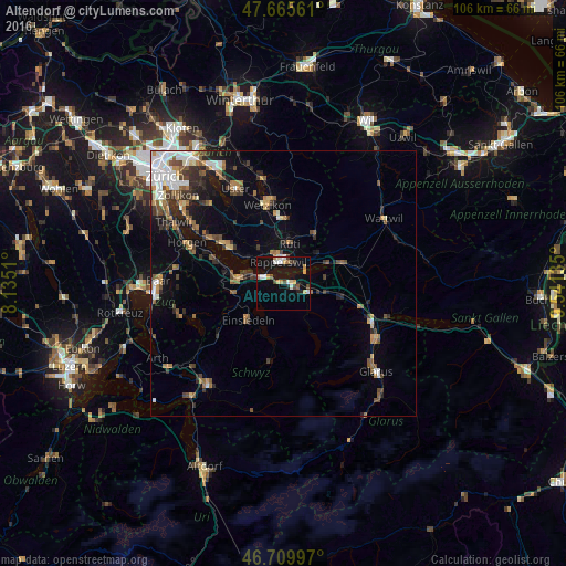
Analysis of Altendorf night lights 2016
Square area 10x10 km:
 2.98%
2.98%90-99
2.38%80-89
1.19%70-79
4.46%60-69
1.49%50-59
1.19%40-49
2.98%30-39
0.89%20-29
1.64%10-19
18.01%0-9
62.8%Square area 50x50 km:
1.45%90-99
1.25%80-89
0.63%70-79
0.92%60-69
1.41%50-59
1.26%40-49
1.65%30-39
1.35%20-29
1.95%10-19
4.28%0-9
83.86%Clear (daylight) street map image can be seen on geolist.org.
Map coordinates:
47° 39' 56.2" North, 8° 8' 6.4" East
47° 11' 23.8" North, 8° 50' 17.6" East
46° 42' 35.9" North, 9° 32' 28.9" East
Some cities around Altendorf sort by population:
• Rapperswil
4.1 km =2.5 mi,  343°
343°
• Jona
4.4 km =2.7 mi,  0°
0°
• Freienbach
6.3 km =3.9 mi,  285°
285°
• Rüti
7.5 km =4.7 mi,  10°
10°
• Schübelbach
7 km =4.3 mi,  105°
105°
• Pfäffikon
4.7 km =2.9 mi, 285°
• Siebnen
4.8 km =3 mi, 110°
• Lachen
1.2 km =0.7 mi,  77°
77°
2661776 (p: 5,280)
Sources (retrieved 2019-11-25):
» Earth at Night: Flat Maps 2012, 2016