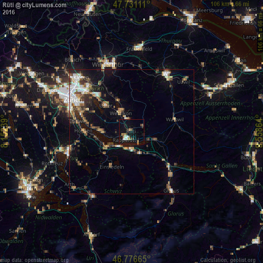
Rüti night lights from space
Night Light of Rüti (Zurich) from space (Switzerland) Src. Average luminocity for 10x10km area is 14.6548% and for 50x50km: 10.0884%.
Analysis of Rüti night lights 2016
Square area 10x10 km:
100  1.79%
1.79%
90-99 1.34%
80-89 0.6%
70-79 2.68%
60-69 1.93%
50-59 1.04%
40-49 2.38%
30-39 1.34%
20-29 1.49%
10-19 19.2%
0-9 66.22%
1.79%90-99
1.34%80-89
0.6%70-79
2.68%60-69
1.93%50-59
1.04%40-49
2.38%30-39
1.34%20-29
1.49%10-19
19.2%0-9
66.22%Square area 50x50 km:
100 1.54%
90-99 1.56%
80-89 0.8%
70-79 0.93%
60-69 1.48%
50-59 1.28%
40-49 1.88%
30-39 1.57%
20-29 2.34%
10-19 5.5%
0-9 81.12%
1.54%90-99
1.56%80-89
0.8%70-79
0.93%60-69
1.48%50-59
1.28%40-49
1.88%30-39
1.57%20-29
2.34%10-19
5.5%0-9
81.12%Clear (daylight) street map image can be seen on geolist.org.
Map coordinates:
47° 43' 52" North, 8° 9' 8.6" East
47° 15' 21.7" North, 8° 51' 19.9" East
46° 46' 35.9" North, 9° 33' 31.1" East
Some cities around Rüti sort by population:
• Rapperswil
4.2 km =2.6 mi,  216°
216°
• Jona
3.2 km =2 mi,  203°
203°
• Wetzikon
9 km =5.6 mi,  330°
330°
• Eschenbach
5.3 km =3.3 mi,  109°
109°
• Pfäffikon
8.5 km =5.3 mi, 223°
• Lachen
7.1 km =4.4 mi,  181°
181°
• Hinwil
4.3 km =2.7 mi,  348°
348°
• Altendorf
7.5 km =4.7 mi,  190°
190°
2658909 (p: 9,576)
Sources (retrieved 2019-11-25):
» Earth at Night: Flat Maps 2012, 2016