Neuchâtel night lights from space
Night Light of Neuchâtel from space (Switzerland) Src. Average luminocity for 10x10km area is 21.8892% and for 50x50km: 8.3747%.
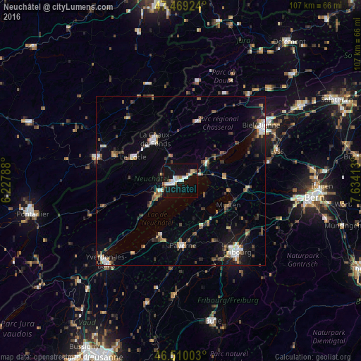
Analysis of Neuchâtel night lights 2016
Square area 10x10 km:
 4.97%
4.97%90-99
4.12%80-89
3.13%70-79
0.99%60-69
1.7%50-59
0.43%40-49
1.14%30-39
0.14%20-29
2.41%10-19
33.95%0-9
47.02%Square area 50x50 km:
1.07%90-99
1.16%80-89
0.58%70-79
0.76%60-69
0.97%50-59
1.32%40-49
1.3%30-39
1.14%20-29
1.55%10-19
5.74%0-9
84.41%Clear (daylight) street map image can be seen on geolist.org.
Map coordinates:
47° 28' 9.3" North, 6° 13' 40.4" East
46° 59' 30.4" North, 6° 55' 51.6" East
46° 30' 36.1" North, 7° 38' 2.9" East
Some cities around Neuchâtel sort by population:
• La Chaux-de-Fonds
14.4 km =8.9 mi,  326°
326°
• Le Locle
15.5 km =9.6 mi,  297°
297°
• Payerne
18.9 km =11.7 mi,  178°
178°
• Düdingen
25.4 km =15.8 mi,  128°
128°
• Murten/Morat
15.8 km =9.8 mi,  116°
116°
• Peseux
3.2 km =2 mi,  260°
260°
• Saint-Imier
18.6 km =11.6 mi,  15°
15°
• Estavayer-le-Lac
17.1 km =10.6 mi,  201°
201°
2659496 (p: 31,270)
Sources (retrieved 2019-11-25):
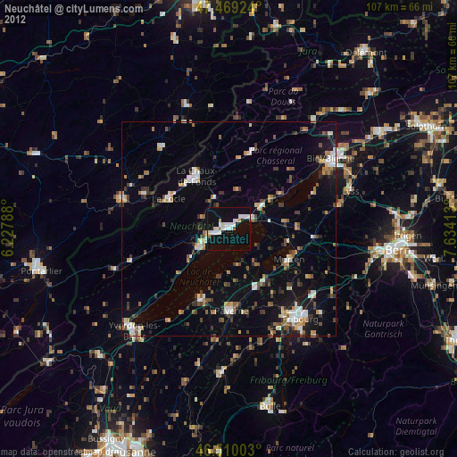
» Earth at Night: Flat Maps 2012, 2016