Montreux night lights from space
Night Light of Montreux (Vaud) from space (Switzerland) Src. Average luminocity for 10x10km area is 24.4271% and for 50x50km: 7.7574%.
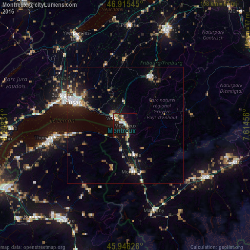
Analysis of Montreux night lights 2016
Square area 10x10 km:
 3.42%
3.42%90-99
4.91%80-89
2.38%70-79
2.98%60-69
3.72%50-59
2.23%40-49
2.98%30-39
0.3%20-29
2.53%10-19
33.33%0-9
41.22%Square area 50x50 km:
0.94%90-99
1.22%80-89
0.7%70-79
0.69%60-69
0.93%50-59
1.08%40-49
1.18%30-39
1.18%20-29
1.62%10-19
5.94%0-9
84.52%Clear (daylight) street map image can be seen on geolist.org.
Map coordinates:
46° 54' 55.6" North, 6° 12' 29.9" East
46° 25' 58.8" North, 6° 54' 41.1" East
45° 56' 46.5" North, 7° 36' 52.4" East
Some cities around Montreux sort by population:
• Vevey
6.2 km =3.9 mi,  302°
302°
• La Tour-de-Peilz
4.6 km =2.9 mi, 298°
• Lutry
18.9 km =11.7 mi,  294°
294°
• Aigle
13.4 km =8.3 mi,  162°
162°
• Ollon
16.6 km =10.3 mi, 157°
• Collombey
17.9 km =11.1 mi,  171°
171°
• Blonay
4 km =2.5 mi,  343°
343°
• Châtel-Saint-Denis
10.5 km =6.5 mi,  355°
355°
2659601 (p: 22,897)
Sources (retrieved 2019-11-25):
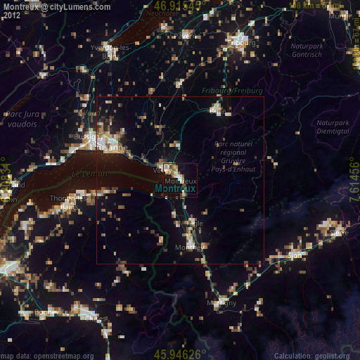
» Earth at Night: Flat Maps 2012, 2016