Lancy night lights from space
Night Light of Lancy (Geneva) from space (Switzerland) Src. Average luminocity for 10x10km area is 71.8778% and for 50x50km: 17.5529%.
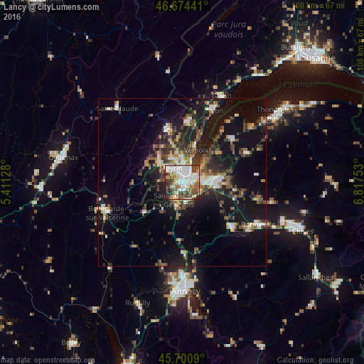
Analysis of Lancy night lights 2016
Square area 10x10 km:
 21.16%
90-99
22.16%80-89
6.11%70-79
5.68%60-69
9.66%50-59
5.97%40-49
11.08%30-39
10.37%20-29
5.97%10-19
1.85%0-9
0%Square area 50x50 km:
2.17%90-99
2.86%80-89
1.32%70-79
1.61%60-69
2.24%50-59
2.57%40-49
3.54%30-39
3.4%20-29
4.82%10-19
15.98%0-9
59.47%Clear (daylight) street map image can be seen on geolist.org.
Map coordinates:
46° 40' 27.9" North, 5° 24' 40.6" East
46° 11' 23.3" North, 6° 6' 51.9" East
45° 42' 3.2" North, 6° 49' 3.1" East
Some cities around Lancy sort by population:
• Genève
2.8 km =1.7 mi,  60°
60°
• Vernier
3.8 km =2.4 mi,  323°
323°
• Carouge
2.1 km =1.3 mi,  117°
117°
• Onex
1.1 km =0.7 mi,  234°
234°
• Plan-les-Ouates
2.4 km =1.5 mi,  175°
175°
• Le Grand-Saconnex
4.7 km =2.9 mi,  6°
6°
• Bernex
3.3 km =2.1 mi,  243°
243°
• Les Avanchets
3.6 km =2.2 mi,  352°
352°
6691640 (p: 27,291)
Sources (retrieved 2019-11-25):
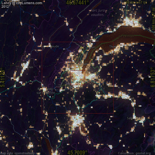
» Earth at Night: Flat Maps 2012, 2016