Goldau night lights from space
Night Light of Goldau (Schwyz) from space (Switzerland) Src. Average luminocity for 10x10km area is 3.1861% and for 50x50km: 7.2356%.
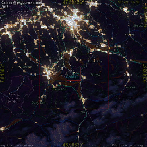
Analysis of Goldau night lights 2016
Square area 10x10 km:
 0%
0%90-99
0%80-89
0.28%70-79
0%60-69
1.7%50-59
0%40-49
0.99%30-39
1.28%20-29
0%10-19
0.57%0-9
95.17%Square area 50x50 km:
0.47%90-99
0.72%80-89
0.64%70-79
0.93%60-69
1.21%50-59
1.14%40-49
1.37%30-39
1.25%20-29
1.72%10-19
5.08%0-9
85.47%Clear (daylight) street map image can be seen on geolist.org.
Map coordinates:
47° 31' 28.4" North, 7° 50' 34.9" East
47° 2' 51.4" North, 8° 32' 46.2" East
46° 33' 58.9" North, 9° 14' 57.4" East
Some cities around Goldau sort by population:
• Schwyz
8.7 km =5.4 mi,  110°
110°
• Küssnacht
8.9 km =5.5 mi,  298°
298°
• Rotkreuz
13.7 km =8.5 mi,  320°
320°
• Arth
2.5 km =1.6 mi, 315°
• Unterägeri
10.3 km =6.4 mi,  16°
16°
• Ingenbohl
7.5 km =4.7 mi,  136°
136°
• Meggen
13 km =8.1 mi,  269°
269°
• Buochs
12.4 km =7.7 mi,  228°
228°
2660573 (p: 5,285)
Sources (retrieved 2019-11-25):
» Earth at Night: Flat Maps 2012, 2016