Baar night lights from space
Night Light of Baar (Zug) from space (Switzerland) Src. Average luminocity for 10x10km area is 19.8438% and for 50x50km: 15.5353%.
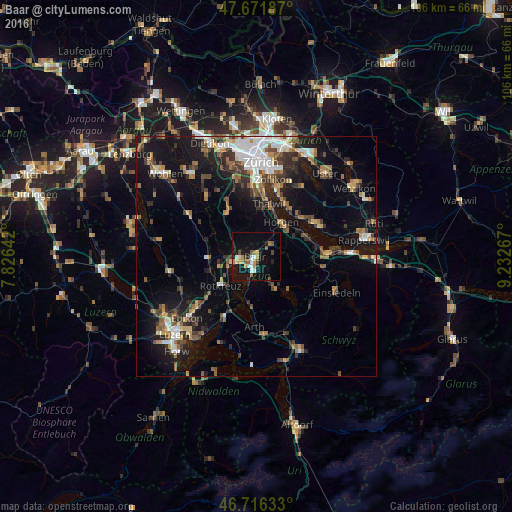
Analysis of Baar night lights 2016
Square area 10x10 km:
 1.64%
1.64%90-99
3.57%80-89
0.74%70-79
4.02%60-69
3.27%50-59
2.38%40-49
2.53%30-39
0.6%20-29
2.98%10-19
22.92%0-9
55.36%Square area 50x50 km:
2.27%90-99
2.27%80-89
1.13%70-79
1.48%60-69
2.41%50-59
2.07%40-49
2.66%30-39
2.58%20-29
3.61%10-19
12.03%0-9
67.48%Clear (daylight) street map image can be seen on geolist.org.
Map coordinates:
47° 40' 18.7" North, 7° 49' 35.1" East
47° 11' 46.5" North, 8° 31' 46.3" East
46° 42' 58.8" North, 9° 13' 57.6" East
Some cities around Baar sort by population:
• Zug
2.8 km =1.7 mi,  199°
199°
• Horgen
8.7 km =5.4 mi,  36°
36°
• Cham
5.2 km =3.2 mi,  252°
252°
• Rotkreuz
9.5 km =5.9 mi,  231°
231°
• Hünenberg
8.2 km =5.1 mi, 253°
• Steinhausen
3.3 km =2.1 mi,  267°
267°
• Unterägeri
7.9 km =4.9 mi,  147°
147°
• Horgen / Horgen (Dorfkern)
8.6 km =5.3 mi, 39°
2661653 (p: 20,546)
Sources (retrieved 2019-11-25):
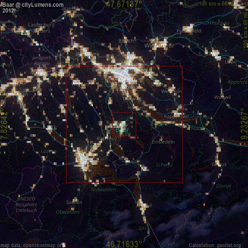
» Earth at Night: Flat Maps 2012, 2016