Altdorf night lights from space
Night Light of Altdorf (Uri) from space (Switzerland) Src. Average luminocity for 10x10km area is 9.0372% and for 50x50km: 2.1728%.
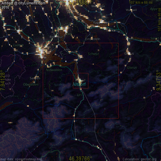
Analysis of Altdorf night lights 2016
Square area 10x10 km:
 0%
0%90-99
0.6%80-89
2.68%70-79
2.08%60-69
0.6%50-59
0.6%40-49
2.83%30-39
1.19%20-29
1.49%10-19
0.74%0-9
87.2%Square area 50x50 km:
0.05%90-99
0.14%80-89
0.33%70-79
0.28%60-69
0.37%50-59
0.3%40-49
0.53%30-39
0.55%20-29
0.71%10-19
1.22%0-9
95.53%Clear (daylight) street map image can be seen on geolist.org.
Map coordinates:
47° 21' 31.9" North, 7° 56' 28.6" East
46° 52' 49.5" North, 8° 38' 39.9" East
46° 23' 51.6" North, 9° 20' 51.1" East
Some cities around Altdorf sort by population:
• Schwyz
15.6 km =9.7 mi,  2°
2°
• Küssnacht
27.5 km =17.1 mi,  326°
326°
• Arth
22.3 km =13.9 mi,  335°
335°
• Ingenbohl
13.3 km =8.3 mi,  350°
350°
• Stans
22.8 km =14.2 mi,  292°
292°
• Meggen
27.6 km =17.1 mi,  312°
312°
• Buochs
19.8 km =12.3 mi,  301°
301°
• Goldau
20 km =12.4 mi, 338°
2661780 (p: 8,678)
Sources (retrieved 2019-11-25):
» Earth at Night: Flat Maps 2012, 2016