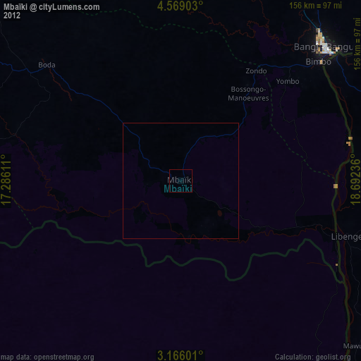
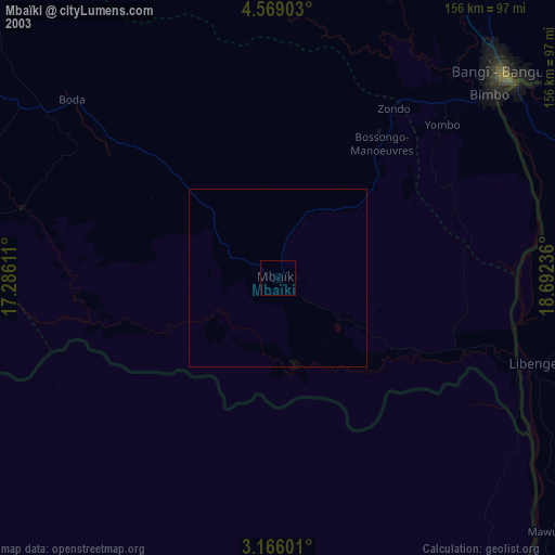
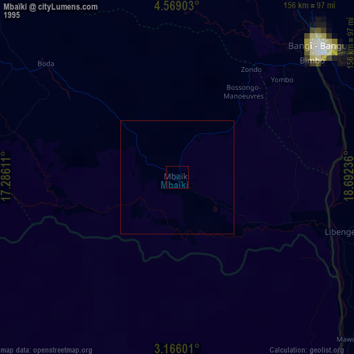
Mbaïki night lights from space
Night Light of Mbaïki (Lobaye) from space (Central African Republic) Src. Average luminocity for 10x10km area is 0% and for 50x50km: 0%.
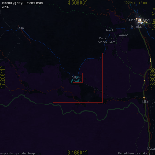
Analysis of Mbaïki night lights 2016
Square area 10x10 km:
 0%
0%90-99
0%80-89
0%70-79
0%60-69
0%50-59
0%40-49
0%30-39
0%20-29
0%10-19
0%0-9
100%Square area 50x50 km:
0%90-99
0%80-89
0%70-79
0%60-69
0%50-59
0%40-49
0%30-39
0%20-29
0%10-19
0%0-9
100%Clear (daylight) street map image can be seen on geolist.org.
Map coordinates:
4° 34' 8.5" North, 17° 17' 10" East
3° 52' 4.1" North, 17° 59' 21.2" East
3° 9' 57.6" North, 18° 41' 32.5" East
Some cities around Mbaïki sort by population:
• Bangui
83.3 km =51.8 mi,  48°
48°
• Bimbo
64.1 km =39.8 mi, 47°
• Gemena, CD
209.2 km =130 mi,  108°
108°
• Libenge, CD
75.6 km =47 mi, 108°
• Damara
145 km =90.1 mi,  33°
33°
• Boda
76.4 km =47.5 mi,  311°
311°
• Mongoumba
71.6 km =44.5 mi, 110°
• Boali
104.8 km =65.1 mi,  8°
8°
2384770 (p: 67,132)
Sources (retrieved 2019-11-25):
» NASA, Earths city lights 1995
» NASA city lights 2003
» Earth at Night: Flat Maps 2012, 2016