Mbanza-Ngungu night lights from space
Night Light of Mbanza-Ngungu (Bas-Congo) from space (Democratic Republic of the Congo) Src. Average luminocity for 10x10km area is 8.6033% and for 50x50km: 0.7344%.
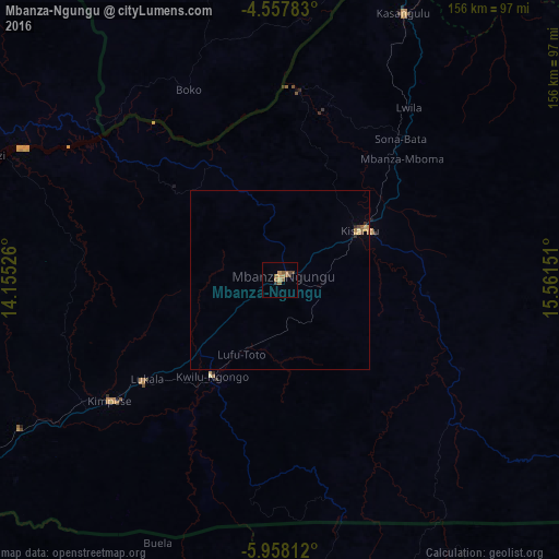
Analysis of Mbanza-Ngungu night lights 2016
Square area 10x10 km:
 0%
0%90-99
0%80-89
0.21%70-79
3.1%60-69
3.31%50-59
2.48%40-49
2.48%30-39
0.83%20-29
0%10-19
0%0-9
87.6%Square area 50x50 km:
0%90-99
0%80-89
0.07%70-79
0.27%60-69
0.18%50-59
0.19%40-49
0.16%30-39
0.04%20-29
0.09%10-19
0%0-9
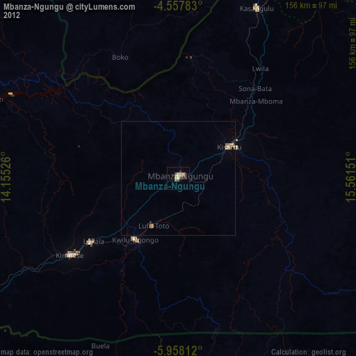
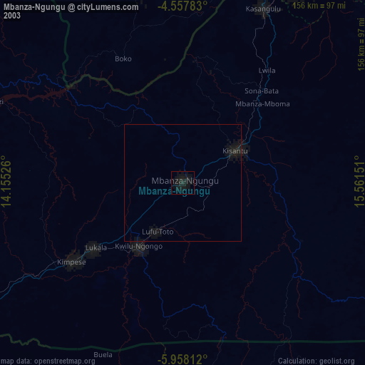
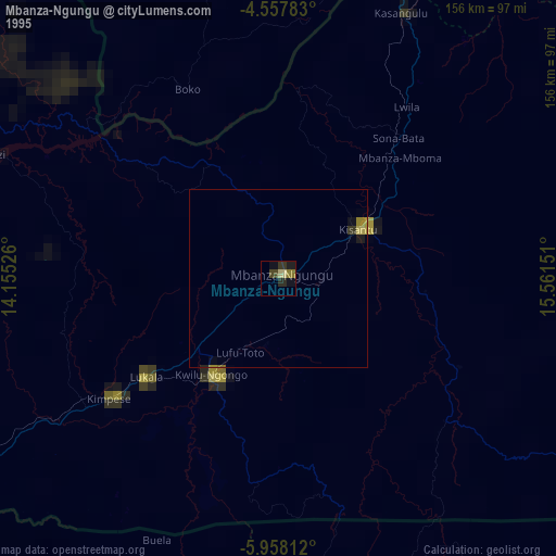
98.99%Clear (daylight) street map image can be seen on geolist.org.
Map coordinates:
4° 33' 28.2" South, 14° 9' 18.9" East
5° 15' 30.1" South, 14° 51' 30.2" East
5° 57' 29.2" South, 15° 33' 41.4" East
Some cities around Mbanza-Ngungu sort by population:
• Kinshasa
115.1 km =71.5 mi,  25°
25°
• Brazzaville, CG
119.9 km =74.5 mi,  23°
23°
• Masina
113.8 km =70.7 mi, 31°
• Matadi
167.4 km =104 mi,  247°
247°
• Kayes, CG
209.9 km =130.4 mi,  303°
303°
• Kasangulu
82.4 km =51.2 mi, 24°
• Madingou, CG
190 km =118.1 mi,  310°
310°
• Kinkala, CG
100.3 km =62.3 mi,  354°
354°
2312888 (p: 86,356)
Sources (retrieved 2019-11-25):
» NASA, Earths city lights 1995
» NASA city lights 2003
» Earth at Night: Flat Maps 2012, 2016