Mpanda night lights from space
Night Light of Mpanda (Katavi) from space (Tanzania) Src. Average luminocity for 10x10km area is 5.645% and for 50x50km: 0.2442%.


Analysis of Mpanda night lights 2016
Square area 10x10 km:
 0%
0%90-99
0%80-89
0%70-79
1.08%60-69
1.52%50-59
1.73%40-49
1.73%30-39
2.6%20-29
2.16%10-19
0.43%0-9
88.74%Square area 50x50 km:
0%90-99
0%80-89
0%70-79
0.04%60-69
0.06%50-59
0.1%40-49
0.08%30-39
0.1%20-29
0.09%10-19
0.02%0-9
99.52%Clear (daylight) street map image can be seen on geolist.org.
Map coordinates:
5° 38' 40.2" South, 30° 21' 59" East
6° 20' 37.6" South, 31° 4' 10.2" East
7° 2' 31.6" South, 31° 46' 21.5" East
Some cities around Mpanda sort by population:
• Nguruka
137.3 km =85.3 mi,  358°
358°
• Kirando
130.1 km =80.8 mi,  203°
203°
• Namanyere
130.4 km =81 mi,  180°
180°
• Uvinza
157 km =97.6 mi,  331°
331°
• Chala
139.5 km =86.7 mi,  171°
171°
• Usevia
86 km =53.4 mi, 167°
• Karema
87.5 km =54.4 mi,  232°
232°
• Inyonga
117.7 km =73.1 mi,  110°
110°
153176 (p: 73,338)
Sources (retrieved 2019-11-25):
» NASA, Earths city lights 1995
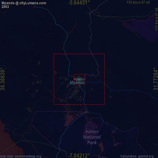
» NASA city lights 2003
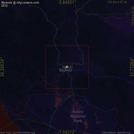
» Earth at Night: Flat Maps 2012, 2016