Yarmouth night lights from space
Night Light of Yarmouth (Nova Scotia) from space (Canada) Src. Average luminocity for 10x10km area is 15.5% and for 50x50km: 0.693%.
Analysis of Yarmouth night lights 2016
Square area 10x10 km:
 1.75%
1.75%90-99
3.65%80-89
2.38%70-79
1.11%60-69
2.38%50-59
2.06%40-49
0.63%30-39
1.27%20-29
1.27%10-19
5.24%0-9
78.25%Square area 50x50 km:
0.07%90-99
0.14%80-89
0.09%70-79
0.04%60-69
0.09%50-59
0.11%40-49
0.02%30-39
0.1%20-29
0.06%10-19
0.26%0-9
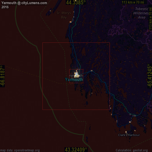
99.01%Clear (daylight) street map image can be seen on geolist.org.
Map coordinates:
44° 20' 18.6" North, 66° 49' 7.3" West
43° 50' 0.4" North, 66° 6' 56.1" West
43° 19' 26.7" North, 65° 24' 44.8" West
Some cities around Yarmouth sort by population:
• Halifax
221.8 km =137.8 mi,  65°
65°
• Saint John
160.1 km =99.5 mi,  1°
1°
• Lower Sackville
220.4 km =137 mi,  61°
61°
• Kentville
188.8 km =117.3 mi,  42°
42°
• Bridgewater
141.2 km =87.7 mi, 64°
• Ellsworth, US
199.9 km =124.2 mi,  293°
293°
• Greenwood
157.9 km =98.1 mi, 36°
• Sussex
215.5 km =133.9 mi,  12°
12°
6185217 (p: 7,500)
Sources (retrieved 2019-11-25):
» Earth at Night: Flat Maps 2012, 2016