Bridgewater night lights from space
Night Light of Bridgewater (Nova Scotia) from space (Canada) Src. Average luminocity for 10x10km area is 15.1111% and for 50x50km: 0.8548%.
Analysis of Bridgewater night lights 2016
Square area 10x10 km:
 1.75%
1.75%90-99
3.02%80-89
1.9%70-79
2.86%60-69
1.11%50-59
1.43%40-49
1.27%30-39
1.75%20-29
1.9%10-19
3.65%0-9
79.37%Square area 50x50 km:
0.07%90-99
0.14%80-89
0.1%70-79
0.14%60-69
0.09%50-59
0.13%40-49
0.15%30-39
0.14%20-29
0.12%10-19
0.14%0-9
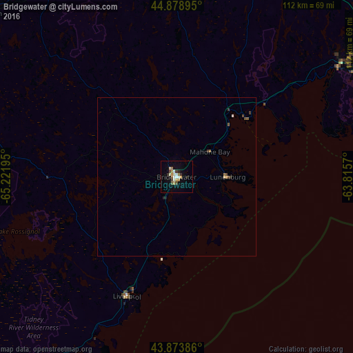
98.78%Clear (daylight) street map image can be seen on geolist.org.
Map coordinates:
44° 52' 44.2" North, 65° 13' 19" West
44° 22' 42.8" North, 64° 31' 7.8" West
43° 52' 25.9" North, 63° 48' 56.5" West
Some cities around Bridgewater sort by population:
• Halifax
80.7 km =50.1 mi,  68°
68°
• Dartmouth
81.4 km =50.6 mi, 66°
• Lower Sackville
79.9 km =49.6 mi,  56°
56°
• Cole Harbour
89 km =55.3 mi, 68°
• Kentville
77.7 km =48.3 mi,  1°
1°
• Fall River
86.5 km =53.7 mi, 55°
• Yarmouth
141.2 km =87.7 mi,  244°
244°
• Greenwood
73.8 km =45.9 mi,  333°
333°
5908723 (p: 8,070)
Sources (retrieved 2019-11-25):
» Earth at Night: Flat Maps 2012, 2016