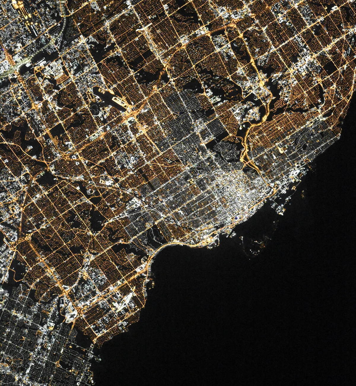
Toronto night lights from space
Night Light of Toronto (Ontario) from space (Canada) Src. Average luminocity for 10x10km area is 99.3667% and for 50x50km: 59.628%.
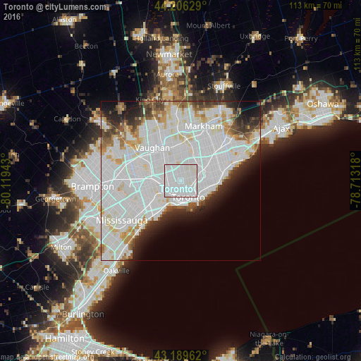

Analysis of Toronto night lights 2016
Square area 10x10 km:
 72.88%
90-99
27.12%80-89
0%70-79
0%60-69
0%50-59
0%40-49
0%30-39
0%20-29
0%10-19
0%0-9
0%Square area 50x50 km:
28.52%90-99
18.3%80-89
3.93%70-79
3.01%60-69
2.5%50-59
2.61%40-49
3.25%30-39
3.05%20-29
4.72%10-19
5.39%0-9
24.73%Clear (daylight) street map image can be seen on geolist.org.
Map coordinates:
44° 12' 22.6" North, 80° 7' 9.9" West
43° 42' 0.4" North, 79° 24' 58.7" West
43° 11' 22.6" North, 78° 42' 47.4" West
Fantastic image of Toronto from space taken by astronauts [src2], but I don't have information about it's orientation, scale or angle. If necessary, it was rotated manually, so North points approximately to upper direction. Click to zoom in:
Some cities around Toronto sort by population:
• North York
7.4 km =4.6 mi,  0°
0°
• Scarborough
15.1 km =9.4 mi,  57°
57°
• Etobicoke
13.2 km =8.2 mi,  247°
247°
• Vaughan
16.5 km =10.3 mi,  336°
336°
• Richmond Hill
19.1 km =11.9 mi,  354°
354°
• East York
7.2 km =4.5 mi,  98°
98°
• Willowdale
7.5 km =4.7 mi,  10°
10°
• Concord
12.3 km =7.6 mi,  334°
334°
6167865 (p: 2,600,000)
Sources (retrieved 2019-11-25):
» NASA, Earths city lights 1995
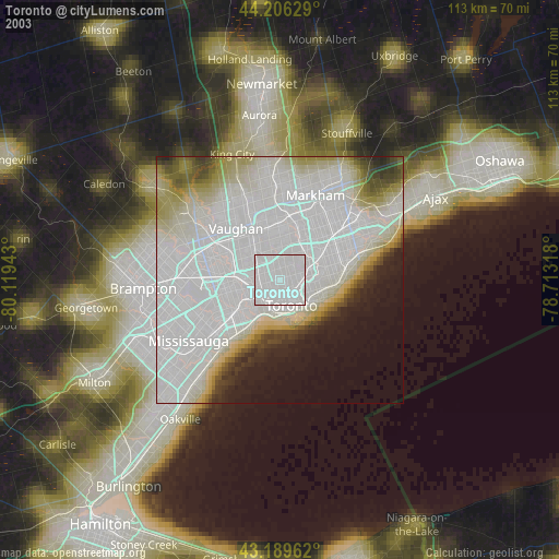
» NASA city lights 2003
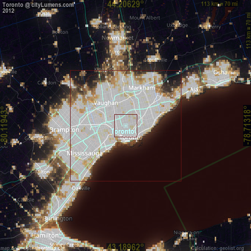
» Earth at Night: Flat Maps 2012, 2016
Src.2: picture by Oleg Kononenko,ĀRoscosmos, retrieved 2019-11-29