Sherwood Park night lights from space
Night Light of Sherwood Park (Alberta) from space (Canada) Src. Average luminocity for 10x10km area is 71.668% and for 50x50km: 28.2773%.
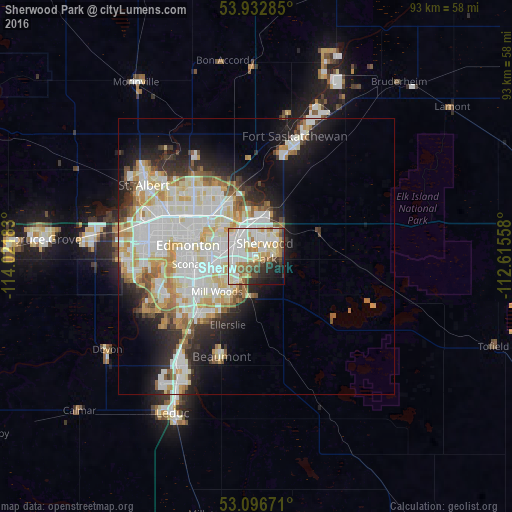
Analysis of Sherwood Park night lights 2016
Square area 10x10 km:
 20.63%
90-99
22.35%80-89
11.51%70-79
7.94%60-69
6.35%50-59
5.16%40-49
4.76%30-39
5.29%20-29
7.41%10-19
7.01%0-9
1.59%Square area 50x50 km:
8.03%90-99
7.76%80-89
3.57%70-79
3.52%60-69
2.26%50-59
2.34%40-49
1.73%30-39
2.34%20-29
4.62%10-19
7.74%0-9
56.09%Clear (daylight) street map image can be seen on geolist.org.
Map coordinates:
53° 55' 58.3" North, 114° 1' 18.6" West
53° 31' 0.6" North, 113° 19' 7.3" West
53° 5' 48.2" North, 112° 36' 56.1" West
Some cities around Sherwood Park sort by population:
• Edmonton
10.6 km =6.6 mi,  290°
290°
• St. Albert
24.6 km =15.3 mi,  301°
301°
• Leduc
31.8 km =19.8 mi,  209°
209°
• Fort Saskatchewan
23.2 km =14.4 mi,  16°
16°
• Silver Berry
7.8 km =4.8 mi, 212°
• Wild Rose
6.6 km =4.1 mi,  218°
218°
• Beaumont
19.7 km =12.2 mi,  199°
199°
• Devon
32.2 km =20 mi,  238°
238°
6146279 (p: 55,063)
Sources (retrieved 2019-11-25):
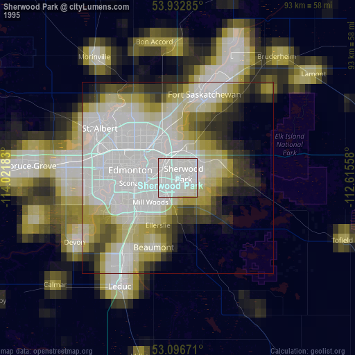
» NASA, Earths city lights 1995
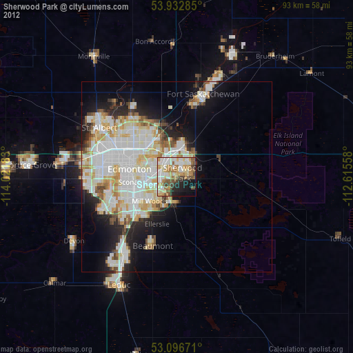
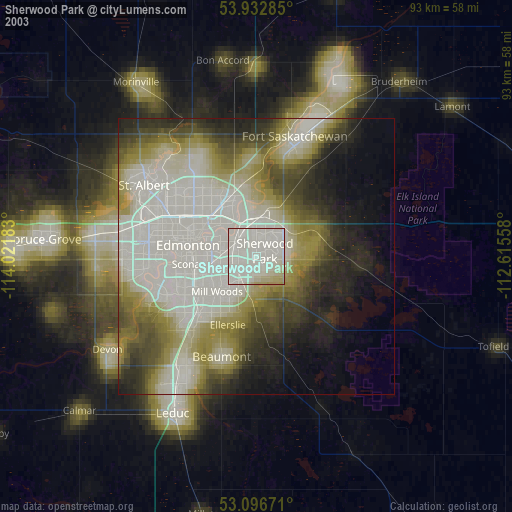
» NASA city lights 2003
» Earth at Night: Flat Maps 2012, 2016